Alejal night lights from space
Night Light of Alejal (Davao) from space (Philippines) Src. Average luminocity for 10x10km area is 5.0433% and for 50x50km: 4.9595%.
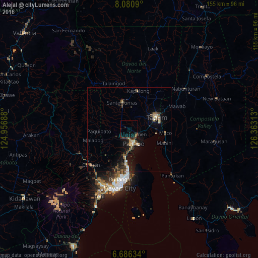
Analysis of Alejal night lights 2016
Square area 10x10 km:
 0%
0%90-99
0%80-89
0%70-79
0.87%60-69
0.87%50-59
0.87%40-49
0%30-39
1.08%20-29
2.38%10-19
5.84%0-9
88.1%Square area 50x50 km:
0.31%90-99
0.45%80-89
0.56%70-79
0.52%60-69
0.6%50-59
0.88%40-49
0.93%30-39
1.28%20-29
1.21%10-19
4.28%0-9
88.96%Clear (daylight) street map image can be seen on geolist.org.
Map coordinates:
8° 4' 51.2" North, 124° 57' 24.8" East
7° 23' 3" North, 125° 39' 36" East
6° 41' 10.8" North, 126° 21' 47.3" East
Some cities around Alejal sort by population:
• Panabo
8.9 km =5.5 mi,  162°
162°
• Cabayangan
8.5 km =5.3 mi,  72°
72°
• New Visayas
16 km =9.9 mi,  345°
345°
• Carmen
5.7 km =3.5 mi,  117°
117°
• Corocotan
12.5 km =7.8 mi,  82°
82°
• Lasang
13 km =8.1 mi,  177°
177°
• Tubod
2.2 km =1.4 mi,  230°
230°
• La Libertad
10.8 km =6.7 mi, 352°
1731547 (p: 8,075)
Sources (retrieved 2019-11-25):
» Earth at Night: Flat Maps 2012, 2016