Panabo night lights from space
Night Light of Panabo (Davao) from space (Philippines) Src. Average luminocity for 10x10km area is 32.3442% and for 50x50km: 8.9735%.
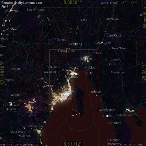
Analysis of Panabo night lights 2016
Square area 10x10 km:
 2.38%
2.38%90-99
2.38%80-89
7.14%70-79
4.76%60-69
5.41%50-59
6.28%40-49
6.93%30-39
2.81%20-29
3.68%10-19
38.96%0-9
19.26%Square area 50x50 km:
1.38%90-99
1.28%80-89
0.73%70-79
0.86%60-69
1.15%50-59
1.38%40-49
1.47%30-39
2.23%20-29
2.34%10-19
5.91%0-9
81.27%Clear (daylight) street map image can be seen on geolist.org.
Map coordinates:
8° 0' 17.7" North, 124° 58' 51.8" East
7° 18' 29" North, 125° 41' 3" East
6° 36' 36.4" North, 126° 23' 14.3" East
Some cities around Panabo sort by population:
• Cabayangan
12.3 km =7.6 mi,  26°
26°
• Carmen
6.3 km =3.9 mi,  22°
22°
• Corocotan
14.1 km =8.8 mi,  43°
43°
• Lasang
5 km =3.1 mi,  204°
204°
• Alejal
8.9 km =5.5 mi,  342°
342°
• Tubod
8.3 km =5.2 mi,  328°
328°
• Cuambog
18.1 km =11.2 mi,  89°
89°
• Pandasan
18.9 km =11.7 mi,  98°
98°
1695804 (p: 84,749)
Sources (retrieved 2019-11-25):
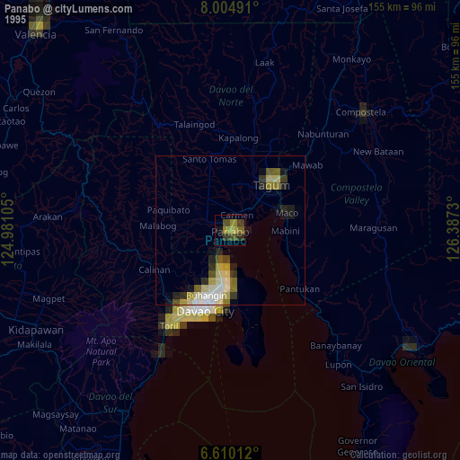
» NASA, Earths city lights 1995
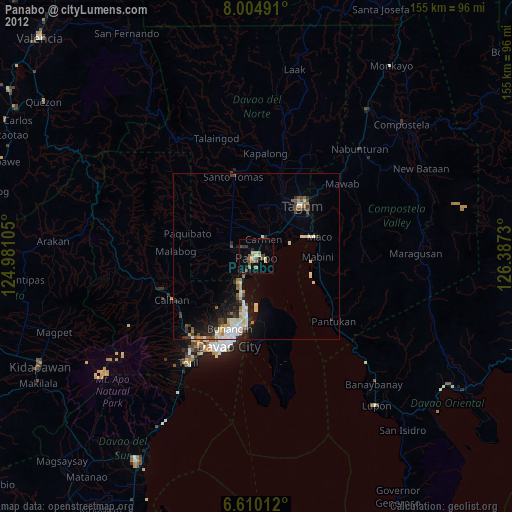
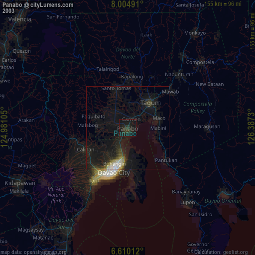
» NASA city lights 2003
» Earth at Night: Flat Maps 2012, 2016