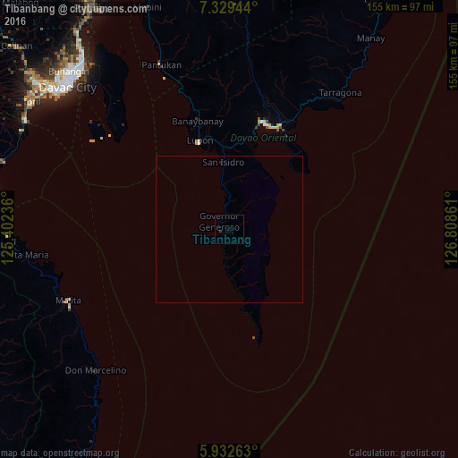
Tibanbang night lights from space
Night Light of Tibanbang (Davao) from space (Philippines) Src. Average luminocity for 10x10km area is 0.3117% and for 50x50km: 0.0194%.
Analysis of Tibanbang night lights 2016
Square area 10x10 km:
 0%
0%90-99
0%80-89
0%70-79
0%60-69
0%50-59
0%40-49
0%30-39
0.87%20-29
0%10-19
0%0-9
99.13%Square area 50x50 km:
0%90-99
0%80-89
0%70-79
0%60-69
0%50-59
0%40-49
0%30-39
0.03%20-29
0%10-19
0.03%0-9
99.93%Clear (daylight) street map image can be seen on geolist.org.
Map coordinates:
7° 19' 46" North, 125° 24' 8.5" East
6° 37' 53.5" North, 126° 6' 19.7" East
5° 55' 57.5" North, 126° 48' 31" East
Some cities around Tibanbang sort by population:
• Mati
38 km =23.6 mi,  18°
18°
• Malita
59.6 km =37 mi,  246°
246°
• Lupon
31.5 km =19.6 mi,  340°
340°
• Batobato
21.7 km =13.5 mi,  353°
353°
• Talagutong
63.3 km =39.3 mi,  229°
229°
• Sigaboy
4.4 km =2.7 mi,  304°
304°
• Magnaga
64.2 km =39.9 mi, 338°
• La Union
8.3 km =5.2 mi, 346°
1682421 (p: 7,838)
Sources (retrieved 2019-11-25):
» Earth at Night: Flat Maps 2012, 2016