Malita night lights from space
Night Light of Malita (Davao) from space (Philippines) Src. Average luminocity for 10x10km area is 4.6126% and for 50x50km: 0.2504%.
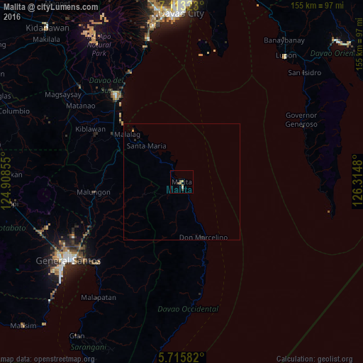
Analysis of Malita night lights 2016
Square area 10x10 km:
 0.43%
0.43%90-99
0.43%80-89
0%70-79
1.73%60-69
0.87%50-59
1.73%40-49
0.43%30-39
0.43%20-29
0%10-19
0%0-9
93.94%Square area 50x50 km:
0.02%90-99
0.02%80-89
0%70-79
0.1%60-69
0.03%50-59
0.07%40-49
0.02%30-39
0.05%20-29
0.06%10-19
0.01%0-9
99.62%Clear (daylight) street map image can be seen on geolist.org.
Map coordinates:
7° 6' 47.6" North, 124° 54' 30.8" East
6° 24' 54" North, 125° 36' 42" East
5° 42' 57" North, 126° 18' 53.3" East
Some cities around Malita sort by population:
• Maluñgun
39.5 km =24.5 mi,  247°
247°
• Santa Maria
21.9 km =13.6 mi,  314°
314°
• Guihing Proper
41.4 km =25.7 mi,  316°
316°
• Padada
38.7 km =24 mi, 310°
• Talagutong
17.9 km =11.1 mi,  159°
159°
• Sulop
36 km =22.4 mi,  304°
304°
• Basiawan
19.1 km =11.9 mi, 313°
• Malalag
30.9 km =19.2 mi, 310°
1702649 (p: 41,114)
Sources (retrieved 2019-11-25):
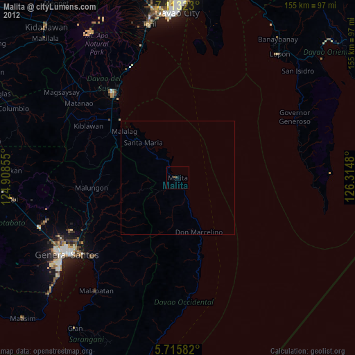
» Earth at Night: Flat Maps 2012, 2016