La Union night lights from space
Night Light of La Union (Davao) from space (Philippines) Src. Average luminocity for 10x10km area is 0% and for 50x50km: 0.188%.
Analysis of La Union night lights 2016
Square area 10x10 km:
100  0%
0%
90-99 0%
80-89 0%
70-79 0%
60-69 0%
50-59 0%
40-49 0%
30-39 0%
20-29 0%
10-19 0%
0-9 100%
0%90-99
0%80-89
0%70-79
0%60-69
0%50-59
0%40-49
0%30-39
0%20-29
0%10-19
0%0-9
100%Square area 50x50 km:
100 0%
90-99 0.07%
80-89 0%
70-79 0.03%
60-69 0.03%
50-59 0%
40-49 0%
30-39 0.03%
20-29 0.03%
10-19 0.03%
0-9 99.76%
0%90-99
0.07%80-89
0%70-79
0.03%60-69
0.03%50-59
0%40-49
0%30-39
0.03%20-29
0.03%10-19
0.03%0-9
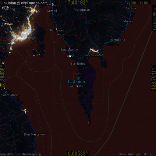
99.76%Clear (daylight) street map image can be seen on geolist.org.
Map coordinates:
7° 24' 6.9" North, 125° 23' 5.5" East
6° 42' 14.9" North, 126° 5' 16.7" East
6° 0' 19.2" North, 126° 47' 28" East
Some cities around La Union sort by population:
• Mati
31.3 km =19.4 mi,  26°
26°
• Samal
58.8 km =36.5 mi,  314°
314°
• Malita
61.7 km =38.3 mi,  238°
238°
• Lupon
23.2 km =14.4 mi,  338°
338°
• Batobato
13.5 km =8.4 mi,  358°
358°
• Sigaboy
5.8 km =3.6 mi,  196°
196°
• Tibanbang
8.3 km =5.2 mi,  166°
166°
• Magnaga
56 km =34.8 mi, 337°
1707058 (p: 5,221)
Sources (retrieved 2019-11-25):
» Earth at Night: Flat Maps 2012, 2016