Talagutong night lights from space
Night Light of Talagutong (Davao) from space (Philippines) Src. Average luminocity for 10x10km area is 0.0108% and for 50x50km: 0.1967%.
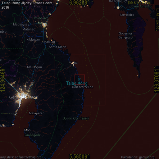
Analysis of Talagutong night lights 2016
Square area 10x10 km:
 0%
0%90-99
0%80-89
0%70-79
0%60-69
0%50-59
0%40-49
0%30-39
0%20-29
0%10-19
0%0-9
100%Square area 50x50 km:
0.02%90-99
0.02%80-89
0%70-79
0.07%60-69
0.03%50-59
0.07%40-49
0.02%30-39
0.02%20-29
0.03%10-19
0%0-9
99.72%Clear (daylight) street map image can be seen on geolist.org.
Map coordinates:
6° 57' 46.4" North, 124° 57' 52.8" East
6° 15' 52" North, 125° 40' 4" East
5° 33' 54.2" North, 126° 22' 15.3" East
Some cities around Talagutong sort by population:
• Maluñgun
42.7 km =26.5 mi,  272°
272°
• Alabel
45.5 km =28.3 mi,  246°
246°
• Malita
17.9 km =11.1 mi,  339°
339°
• Santa Maria
38.8 km =24.1 mi,  325°
325°
• Malandag
46.7 km =29 mi,  276°
276°
• Caburan
38.6 km =24 mi,  184°
184°
• Suyan
38.6 km =24 mi,  233°
233°
• Basiawan
36 km =22.4 mi, 326°
1714416 (p: 7,983)
Sources (retrieved 2019-11-25):
» Earth at Night: Flat Maps 2012, 2016