Tagoloan night lights from space
Night Light of Tagoloan (Northern Mindanao) from space (Philippines) Src. Average luminocity for 10x10km area is 24.2231% and for 50x50km: 5.874%.
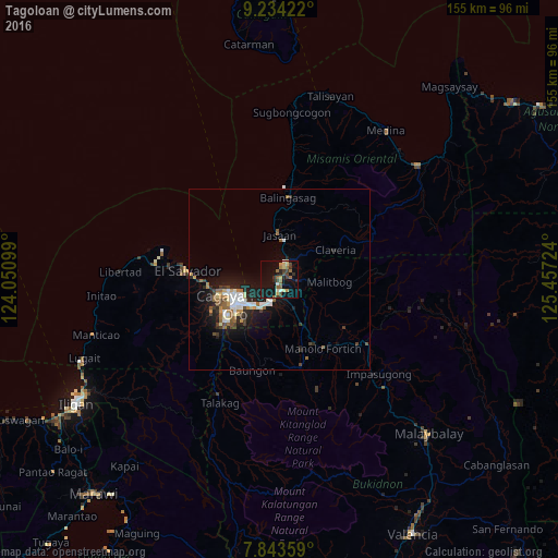
Analysis of Tagoloan night lights 2016
Square area 10x10 km:
 1.24%
1.24%90-99
1.65%80-89
3.51%70-79
3.31%60-69
4.96%50-59
3.93%40-49
3.72%30-39
5.79%20-29
3.51%10-19
29.96%0-9
38.43%Square area 50x50 km:
0.76%90-99
0.91%80-89
0.51%70-79
0.62%60-69
0.75%50-59
0.9%40-49
0.86%30-39
0.78%20-29
1.68%10-19
5.11%0-9
87.13%Clear (daylight) street map image can be seen on geolist.org.
Map coordinates:
9° 14' 3.2" North, 124° 3' 3.6" East
8° 32' 22.3" North, 124° 45' 14.8" East
7° 50' 36.9" North, 125° 27' 26.1" East
Some cities around Tagoloan sort by population:
• Cagayan de Oro
13.4 km =8.3 mi,  241°
241°
• Bugo
3.5 km =2.2 mi,  170°
170°
• Jasaan
12.7 km =7.9 mi,  0°
0°
• Agusan
5.8 km =3.6 mi,  198°
198°
• Barra
16.8 km =10.4 mi,  258°
258°
• Villanueva
6 km =3.7 mi,  23°
23°
• Santa Ana
4.1 km =2.5 mi,  128°
128°
• Alae
14.3 km =8.9 mi,  153°
153°
1684379 (p: 30,390)
Sources (retrieved 2019-11-25):
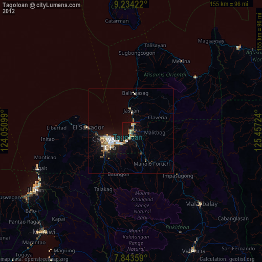
» Earth at Night: Flat Maps 2012, 2016