Villanueva night lights from space
Night Light of Villanueva (Northern Mindanao) from space (Philippines) Src. Average luminocity for 10x10km area is 13.9215% and for 50x50km: 5.7498%.
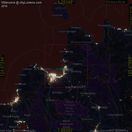
Analysis of Villanueva night lights 2016
Square area 10x10 km:
 0.83%
0.83%90-99
0.41%80-89
2.48%70-79
2.07%60-69
3.31%50-59
1.24%40-49
2.07%30-39
4.34%20-29
2.27%10-19
4.96%0-9
76.03%Square area 50x50 km:
0.78%90-99
0.92%80-89
0.51%70-79
0.54%60-69
0.74%50-59
0.88%40-49
0.83%30-39
0.76%20-29
1.6%10-19
5.1%0-9
87.35%Clear (daylight) street map image can be seen on geolist.org.
Map coordinates:
9° 17' 0.5" North, 124° 4' 20.8" East
8° 35' 20" North, 124° 46' 32" East
7° 53' 34.9" North, 125° 28' 43.3" East
Some cities around Villanueva sort by population:
• Cagayan de Oro
18.4 km =11.4 mi,  229°
229°
• Bugo
9.1 km =5.7 mi,  191°
191°
• Tagoloan
6 km =3.7 mi,  203°
203°
• Jasaan
7.6 km =4.7 mi,  343°
343°
• Agusan
11.7 km =7.3 mi, 201°
• Balingasag
17.3 km =10.7 mi,  0°
0°
• Claveria
13.3 km =8.3 mi,  79°
79°
• Santa Ana
8.1 km =5 mi,  173°
173°
1679873 (p: 7,415)
Sources (retrieved 2019-11-25):
» Earth at Night: Flat Maps 2012, 2016