Agusan night lights from space
Night Light of Agusan (Northern Mindanao) from space (Philippines) Src. Average luminocity for 10x10km area is 24.9174% and for 50x50km: 5.9831%.
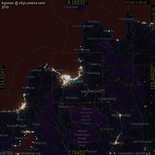
Analysis of Agusan night lights 2016
Square area 10x10 km:
 2.69%
2.69%90-99
6.82%80-89
1.03%70-79
1.65%60-69
1.65%50-59
4.75%40-49
2.07%30-39
1.65%20-29
3.31%10-19
43.6%0-9
30.79%Square area 50x50 km:
0.76%90-99
0.91%80-89
0.53%70-79
0.65%60-69
0.75%50-59
0.92%40-49
0.91%30-39
0.83%20-29
1.69%10-19
5.14%0-9
86.91%Clear (daylight) street map image can be seen on geolist.org.
Map coordinates:
9° 11' 7.2" North, 124° 2' 2.8" East
8° 29' 26" North, 124° 44' 14" East
7° 47' 40.3" North, 125° 26' 25.3" East
Some cities around Agusan sort by population:
• Cagayan de Oro
9.9 km =6.2 mi,  264°
264°
• Bugo
3.1 km =1.9 mi,  51°
51°
• Tagoloan
5.8 km =3.6 mi,  18°
18°
• Barra
14.8 km =9.2 mi,  278°
278°
• Villanueva
11.7 km =7.3 mi, 21°
• Santa Ana
5.8 km =3.6 mi,  60°
60°
• Igpit
16.7 km =10.4 mi, 277°
• Alae
11.1 km =6.9 mi,  131°
131°
1731820 (p: 14,756)
Sources (retrieved 2019-11-25):
» Earth at Night: Flat Maps 2012, 2016