Barra night lights from space
Night Light of Barra (Northern Mindanao) from space (Philippines) Src. Average luminocity for 10x10km area is 37.2996% and for 50x50km: 6.156%.
Analysis of Barra night lights 2016
Square area 10x10 km:
 7.02%
7.02%90-99
6.61%80-89
3.72%70-79
3.93%60-69
4.96%50-59
6.82%40-49
4.75%30-39
4.13%20-29
7.85%10-19
27.89%0-9
22.31%Square area 50x50 km:
0.77%90-99
0.97%80-89
0.56%70-79
0.68%60-69
0.75%50-59
0.93%40-49
0.82%30-39
0.93%20-29
1.68%10-19
5.11%0-9
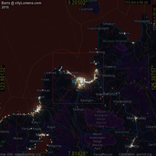
86.79%Clear (daylight) street map image can be seen on geolist.org.
Map coordinates:
9° 12' 18.1" North, 123° 54' 4.8" East
8° 30' 37" North, 124° 36' 16" East
7° 48' 51.4" North, 125° 18' 27.3" East
Some cities around Barra sort by population:
• Cagayan de Oro
5.6 km =3.5 mi,  123°
123°
• Bugo
17 km =10.6 mi,  90°
90°
• Tagoloan
16.8 km =10.4 mi,  78°
78°
• Agusan
14.8 km =9.2 mi,  98°
98°
• Molugan
5.5 km =3.4 mi,  303°
303°
• Lumbia
12.8 km =8 mi,  185°
185°
• El Salvador
10.8 km =6.7 mi, 303°
• Igpit
2 km =1.2 mi,  271°
271°
1726584 (p: 12,442)
Sources (retrieved 2019-11-25):
» Earth at Night: Flat Maps 2012, 2016