Alae night lights from space
Night Light of Alae (Northern Mindanao) from space (Philippines) Src. Average luminocity for 10x10km area is 0.7789% and for 50x50km: 5.4955%.
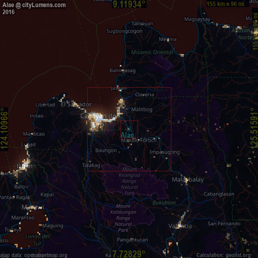
Analysis of Alae night lights 2016
Square area 10x10 km:
 0%
0%90-99
0%80-89
0%70-79
0%60-69
0%50-59
0%40-49
0%30-39
0.83%20-29
0%10-19
0.83%0-9
98.35%Square area 50x50 km:
0.76%90-99
0.91%80-89
0.51%70-79
0.52%60-69
0.63%50-59
0.86%40-49
0.88%30-39
0.79%20-29
1.6%10-19
4.61%0-9
87.94%Clear (daylight) street map image can be seen on geolist.org.
Map coordinates:
9° 7' 9.6" North, 124° 6' 34.8" East
8° 25' 28" North, 124° 48' 46" East
7° 43' 41.8" North, 125° 30' 57.3" East
Some cities around Alae sort by population:
• Bugo
11 km =6.8 mi,  327°
327°
• Tagoloan
14.3 km =8.9 mi, 333°
• Manolo Fortich
8.3 km =5.2 mi,  136°
136°
• Agusan
11.1 km =6.9 mi,  311°
311°
• Damilag
7.8 km =4.8 mi,  180°
180°
• Villanueva
18.7 km =11.6 mi,  347°
347°
• Santa Ana
10.8 km =6.7 mi,  342°
342°
• Libona
12.8 km =8 mi,  221°
221°
1731726 (p: 5,121)
Sources (retrieved 2019-11-25):
» Earth at Night: Flat Maps 2012, 2016