Sumilao night lights from space
Night Light of Sumilao (Northern Mindanao) from space (Philippines) Src. Average luminocity for 10x10km area is 0.4711% and for 50x50km: 1.1313%.
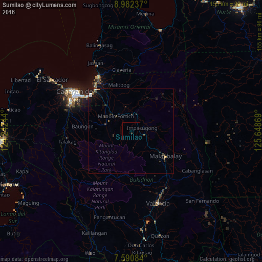
Analysis of Sumilao night lights 2016
Square area 10x10 km:
 0%
0%90-99
0%80-89
0%70-79
0%60-69
0%50-59
0%40-49
0.83%30-39
0%20-29
0%10-19
0.41%0-9
98.76%Square area 50x50 km:
0.06%90-99
0.16%80-89
0.05%70-79
0.18%60-69
0.08%50-59
0.11%40-49
0.29%30-39
0.32%20-29
0.24%10-19
1.06%0-9
97.45%Clear (daylight) street map image can be seen on geolist.org.
Map coordinates:
8° 58' 56.5" North, 124° 14' 32.8" East
8° 17' 14" North, 124° 56' 44" East
7° 35' 27" North, 125° 38' 55.3" East
Some cities around Sumilao sort by population:
• Malaybalay
24.7 km =15.3 mi,  125°
125°
• Manolo Fortich
12.8 km =8 mi,  315°
315°
• Damilag
16.5 km =10.3 mi,  297°
297°
• Kisolon
5.9 km =3.7 mi,  35°
35°
• Sumpong
23.5 km =14.6 mi, 125°
• San Luis
22.6 km =14 mi,  15°
15°
• Libona
23.8 km =14.8 mi,  283°
283°
• Alae
21.1 km =13.1 mi, 316°
1685302 (p: 5,339)
Sources (retrieved 2019-11-25):
» Earth at Night: Flat Maps 2012, 2016