Sumpong night lights from space
Night Light of Sumpong (Northern Mindanao) from space (Philippines) Src. Average luminocity for 10x10km area is 5.3636% and for 50x50km: 0.5219%.
Analysis of Sumpong night lights 2016
Square area 10x10 km:
 0%
0%90-99
0%80-89
0.21%70-79
3.1%60-69
0%50-59
0%40-49
1.45%30-39
3.1%20-29
1.24%10-19
0.83%0-9
90.08%Square area 50x50 km:
0%90-99
0%80-89
0.01%70-79
0.13%60-69
0%50-59
0.12%40-49
0.22%30-39
0.27%20-29
0.19%10-19
0.21%0-9
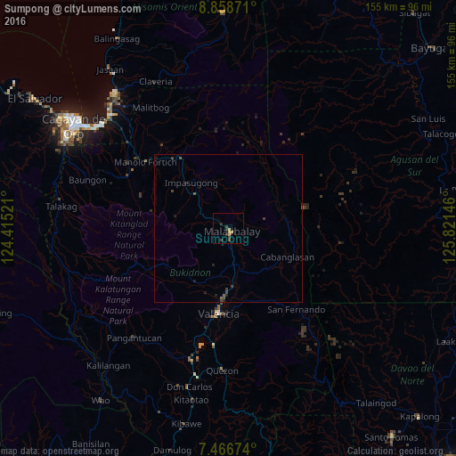
98.86%Clear (daylight) street map image can be seen on geolist.org.
Map coordinates:
8° 51' 31.4" North, 124° 24' 54.8" East
8° 9' 48" North, 125° 7' 6" East
7° 28' 0.3" North, 125° 49' 17.3" East
Some cities around Sumpong sort by population:
• Malaybalay
1.2 km =0.7 mi,  121°
121°
• Casisang
2.9 km =1.8 mi,  165°
165°
• Lurugan
23.3 km =14.5 mi,  225°
225°
• Managok
16.8 km =10.4 mi,  152°
152°
• Linabo
12.8 km =8 mi,  161°
161°
• Aglayan
12.2 km =7.6 mi, 171°
• Mailag
21.6 km =13.4 mi, 174°
• Lantapan
20.9 km =13 mi,  208°
208°
1685286 (p: 7,399)
Sources (retrieved 2019-11-25):
» Earth at Night: Flat Maps 2012, 2016