San Jose night lights from space
Night Light of San Jose (Mimaropa) from space (Philippines) Src. Average luminocity for 10x10km area is 7.3988% and for 50x50km: 0.3282%.
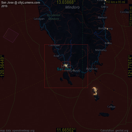
Analysis of San Jose night lights 2016
Square area 10x10 km:
 0%
0%90-99
0%80-89
0.41%70-79
1.65%60-69
2.89%50-59
0.83%40-49
2.07%30-39
3.1%20-29
0.62%10-19
0.83%0-9
87.6%Square area 50x50 km:
0%90-99
0%80-89
0.02%70-79
0.07%60-69
0.12%50-59
0.03%40-49
0.08%30-39
0.16%20-29
0.06%10-19
0.03%0-9
99.43%Clear (daylight) street map image can be seen on geolist.org.
Map coordinates:
13° 2' 19.2" North, 120° 21' 52.2" East
12° 21' 9.9" North, 121° 4' 3.4" East
11° 39' 54.1" North, 121° 46' 14.7" East
Some cities around San Jose sort by population:
• Mansalay
44.4 km =27.6 mi,  65°
65°
• Bulalacao
30.1 km =18.7 mi,  95°
95°
• Calintaan
27.9 km =17.3 mi,  328°
328°
• Caminauit
2.9 km =1.8 mi,  145°
145°
• Magsaysay
9.2 km =5.7 mi, 103°
• Ligaya
39.1 km =24.3 mi, 330°
• Semirara
47.8 km =29.7 mi,  131°
131°
• Bagong Sikat
1.8 km =1.1 mi,  338°
338°
1689510 (p: 118,807)
Sources (retrieved 2019-11-25):
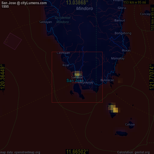
» NASA, Earths city lights 1995
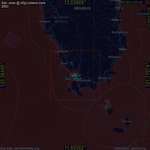
» NASA city lights 2003
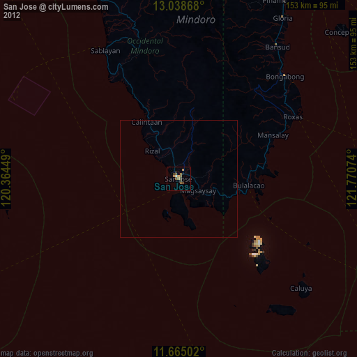
» Earth at Night: Flat Maps 2012, 2016