Santa Justina night lights from space
Night Light of Santa Justina (Bicol) from space (Philippines) Src. Average luminocity for 10x10km area is 0.4298% and for 50x50km: 1.6438%.
Analysis of Santa Justina night lights 2016
Square area 10x10 km:
 0%
0%90-99
0%80-89
0%70-79
0%60-69
0%50-59
0%40-49
0.83%30-39
0%20-29
0%10-19
0%0-9
99.17%Square area 50x50 km:
0.02%90-99
0.01%80-89
0.27%70-79
0.27%60-69
0.28%50-59
0.51%40-49
0.45%30-39
0.29%20-29
0.38%10-19
0.28%0-9
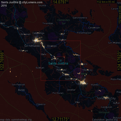
97.22%Clear (daylight) street map image can be seen on geolist.org.
Map coordinates:
14° 4' 46.9" North, 122° 46' 11.9" East
13° 23' 48.1" North, 123° 28' 23.2" East
12° 42' 42.3" North, 124° 10' 34.4" East
Some cities around Santa Justina sort by population:
• Iriga City
7.8 km =4.8 mi,  300°
300°
• Polangui
11.7 km =7.3 mi,  173°
173°
• Libon
11.4 km =7.1 mi,  199°
199°
• San Jose
9.8 km =6.1 mi,  121°
121°
• Buhi
6.2 km =3.9 mi,  50°
50°
• Nabua
11 km =6.8 mi,  276°
276°
• Bato
12.4 km =7.7 mi,  246°
246°
• Santo Domingo
3.7 km =2.3 mi,  314°
314°
1688115 (p: 5,712)
Sources (retrieved 2019-11-25):
» Earth at Night: Flat Maps 2012, 2016