Santo Domingo night lights from space
Night Light of Santo Domingo (Bicol) from space (Philippines) Src. Average luminocity for 10x10km area is 2.9669% and for 50x50km: 1.7114%.
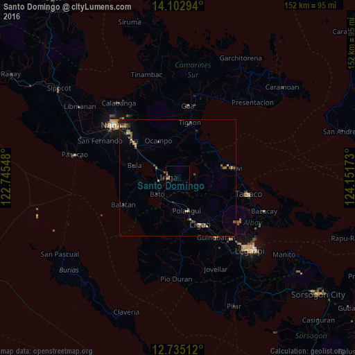
Analysis of Santo Domingo night lights 2016
Square area 10x10 km:
 0%
0%90-99
0%80-89
0.83%70-79
0%60-69
1.45%50-59
0.62%40-49
1.24%30-39
0%20-29
0.83%10-19
0%0-9
95.04%Square area 50x50 km:
0.02%90-99
0.01%80-89
0.27%70-79
0.33%60-69
0.23%50-59
0.38%40-49
0.53%30-39
0.38%20-29
0.41%10-19
0.76%0-9
96.67%Clear (daylight) street map image can be seen on geolist.org.
Map coordinates:
14° 6' 10.6" North, 122° 44' 43.7" East
13° 25' 12" North, 123° 26' 55" East
12° 44' 6.4" North, 124° 9' 6.2" East
Some cities around Santo Domingo sort by population:
• Iriga City
4.2 km =2.6 mi,  288°
288°
• Libon
13.4 km =8.3 mi,  184°
184°
• San Jose
13.4 km =8.3 mi,  125°
125°
• Buhi
7.5 km =4.7 mi,  79°
79°
• Nabua
8.4 km =5.2 mi,  260°
260°
• Baao
9.8 km =6.1 mi, 293°
• Bato
11.5 km =7.1 mi,  229°
229°
• Santa Justina
3.7 km =2.3 mi, 134°
1687742 (p: 5,031)
Sources (retrieved 2019-11-25):
» Earth at Night: Flat Maps 2012, 2016