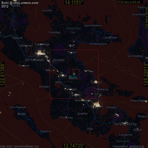
Buhi night lights from space
Night Light of Buhi (Bicol) from space (Philippines) Src. Average luminocity for 10x10km area is 0.3802% and for 50x50km: 1.2515%.
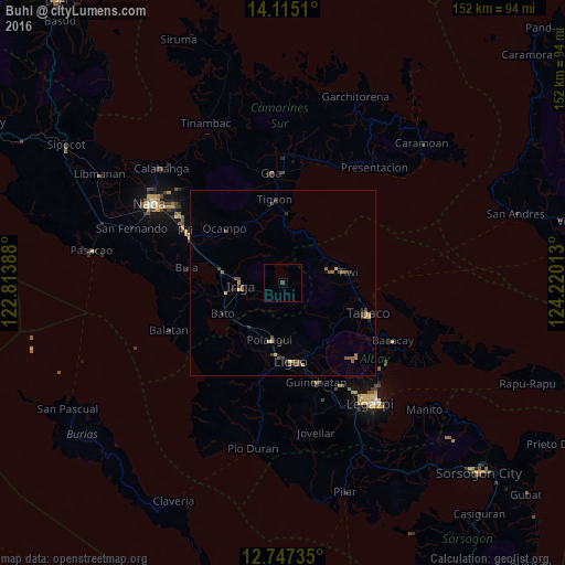
Analysis of Buhi night lights 2016
Square area 10x10 km:
 0%
0%90-99
0%80-89
0%70-79
0%60-69
0%50-59
0%40-49
0.83%30-39
0%20-29
0%10-19
0%0-9
99.17%Square area 50x50 km:
0%90-99
0%80-89
0.27%70-79
0.17%60-69
0.22%50-59
0.36%40-49
0.34%30-39
0.26%20-29
0.32%10-19
0.15%0-9
97.91%Clear (daylight) street map image can be seen on geolist.org.
Map coordinates:
14° 6' 54.4" North, 122° 48' 50" East
13° 25' 55.9" North, 123° 31' 1.2" East
12° 44' 50.5" North, 124° 13' 12.5" East
Some cities around Buhi sort by population:
• Iriga City
11.4 km =7.1 mi,  270°
270°
• Polangui
15.9 km =9.9 mi,  192°
192°
• Libon
17 km =10.6 mi,  209°
209°
• San Jose
9.8 km =6.1 mi,  158°
158°
• Nabua
15.9 km =9.9 mi,  260°
260°
• Baao
16.6 km =10.3 mi,  278°
278°
• Santa Justina
6.2 km =3.9 mi,  230°
230°
• Santo Domingo
7.5 km =4.7 mi, 259°
1723166 (p: 30,126)
Sources (retrieved 2019-11-25):
» Earth at Night: Flat Maps 2012, 2016