Polangui night lights from space
Night Light of Polangui (Bicol) from space (Philippines) Src. Average luminocity for 10x10km area is 4.1426% and for 50x50km: 1.5249%.
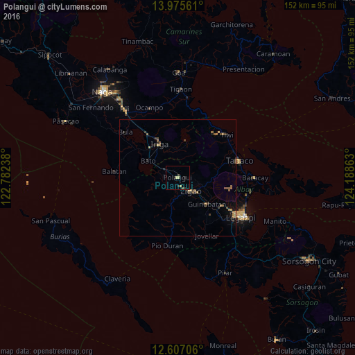
Analysis of Polangui night lights 2016
Square area 10x10 km:
 0%
0%90-99
0%80-89
2.07%70-79
0.41%60-69
0%50-59
0.21%40-49
1.45%30-39
1.03%20-29
0.62%10-19
1.65%0-9
92.56%Square area 50x50 km:
0%90-99
0%80-89
0.32%70-79
0.14%60-69
0.36%50-59
0.37%40-49
0.36%30-39
0.34%20-29
0.34%10-19
0.55%0-9
97.22%Clear (daylight) street map image can be seen on geolist.org.
Map coordinates:
13° 58' 32.2" North, 122° 46' 56.6" East
13° 17' 32.3" North, 123° 29' 7.8" East
12° 36' 25.4" North, 124° 11' 19.1" East
Some cities around Polangui sort by population:
• Libon
5.1 km =3.2 mi,  279°
279°
• San Jose
9.5 km =5.9 mi,  47°
47°
• Buhi
15.9 km =9.9 mi,  12°
12°
• Bato
14.4 km =8.9 mi,  297°
297°
• Ligao
9.1 km =5.7 mi,  156°
156°
• Buluang
15.6 km =9.7 mi, 275°
• Santa Justina
11.7 km =7.3 mi,  353°
353°
• Santo Domingo
14.7 km =9.1 mi,  344°
344°
1693136 (p: 77,122)
Sources (retrieved 2019-11-25):
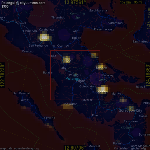
» NASA, Earths city lights 1995
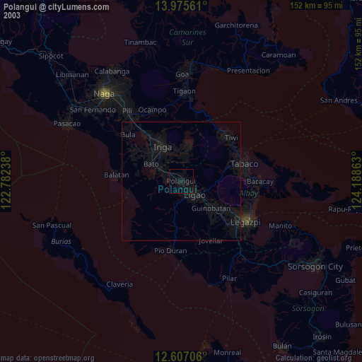
» NASA city lights 2003
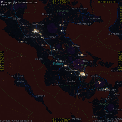
» Earth at Night: Flat Maps 2012, 2016