Santa Cruz night lights from space
Night Light of Santa Cruz (Central Luzon) from space (Philippines) Src. Average luminocity for 10x10km area is 1.2532% and for 50x50km: 0.1459%.
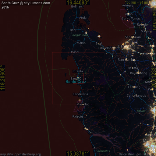
Analysis of Santa Cruz night lights 2016
Square area 10x10 km:
 0%
0%90-99
0%80-89
0%70-79
0.87%60-69
0%50-59
0%40-49
0%30-39
0.87%20-29
0%10-19
0.87%0-9
97.4%Square area 50x50 km:
0%90-99
0%80-89
0.03%70-79
0.04%60-69
0.03%50-59
0%40-49
0%30-39
0.1%20-29
0%10-19
0.13%0-9
99.67%Clear (daylight) street map image can be seen on geolist.org.
Map coordinates:
16° 26' 27.3" North, 119° 12' 21.9" East
15° 45' 55.4" North, 119° 54' 33.1" East
15° 5' 15.4" North, 120° 36' 44.4" East
Some cities around Santa Cruz sort by population:
• Agoo
40.8 km =25.4 mi,  29°
29°
• Masinloc
25.8 km =16 mi,  170°
170°
• Bugallon
38.8 km =24.1 mi,  57°
57°
• Aguilar
37.7 km =23.4 mi,  68°
68°
• Magtaking
38.2 km =23.7 mi,  50°
50°
• Lucapon
7.7 km =4.8 mi,  161°
161°
• Taltal
20.1 km =12.5 mi, 168°
• Sual
38.9 km =24.2 mi, 30°
1688232 (p: 26,429)
Sources (retrieved 2019-11-25):
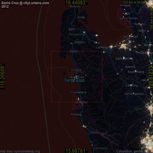
» Earth at Night: Flat Maps 2012, 2016