Masinloc night lights from space
Night Light of Masinloc (Central Luzon) from space (Philippines) Src. Average luminocity for 10x10km area is 2.7446% and for 50x50km: 0.3027%.
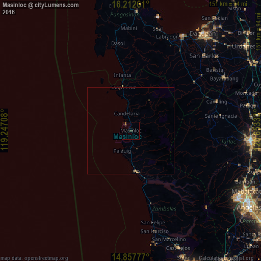
Analysis of Masinloc night lights 2016
Square area 10x10 km:
 0%
0%90-99
0%80-89
0.65%70-79
0.22%60-69
0.87%50-59
0%40-49
0.87%30-39
1.73%20-29
0%10-19
1.73%0-9
93.94%Square area 50x50 km:
0%90-99
0%80-89
0.03%70-79
0.04%60-69
0.1%50-59
0%40-49
0.13%30-39
0.17%20-29
0.07%10-19
0.15%0-9
99.32%Clear (daylight) street map image can be seen on geolist.org.
Map coordinates:
16° 12' 45.4" North, 119° 14' 49.5" East
15° 32' 10.7" North, 119° 57' 0.7" East
14° 51' 28" North, 120° 39' 12" East
Some cities around Masinloc sort by population:
• Iba
23.4 km =14.5 mi,  172°
172°
• Santa Cruz
25.8 km =16 mi,  350°
350°
• Botolan
28.6 km =17.8 mi,  163°
163°
• Mangatarem
46 km =28.6 mi,  52°
52°
• Amuñgan
19 km =11.8 mi,  177°
177°
• Lucapon
18.3 km =11.4 mi, 353°
• Taltal
5.7 km =3.5 mi, 354°
• San Juan
30 km =18.6 mi, 155°
1700665 (p: 28,041)
Sources (retrieved 2019-11-25):
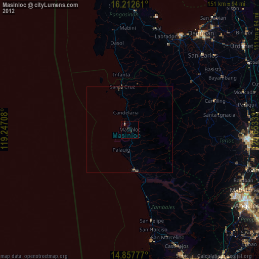
» Earth at Night: Flat Maps 2012, 2016