Santa Ana night lights from space
Night Light of Santa Ana (Central Luzon) from space (Philippines) Src. Average luminocity for 10x10km area is 11.3657% and for 50x50km: 17.3986%.
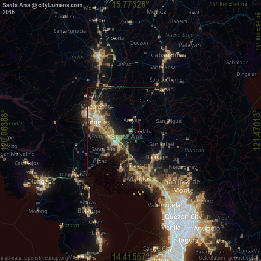
Analysis of Santa Ana night lights 2016
Square area 10x10 km:
 0%
0%90-99
0%80-89
0.41%70-79
0.41%60-69
1.65%50-59
1.65%40-49
2.48%30-39
5.37%20-29
5.79%10-19
13.84%0-9
68.39%Square area 50x50 km:
0.76%90-99
1.04%80-89
1.3%70-79
4.59%60-69
4.45%50-59
1.85%40-49
3.96%30-39
3.8%20-29
6.07%10-19
11.85%0-9
60.33%Clear (daylight) street map image can be seen on geolist.org.
Map coordinates:
15° 46' 23.7" North, 120° 3' 50" East
15° 5' 43.8" North, 120° 46' 1.2" East
14° 24' 56.1" North, 121° 28' 12.5" East
Some cities around Santa Ana sort by population:
• Arayat
6.1 km =3.8 mi,  2°
2°
• Candaba
6.4 km =4 mi,  89°
89°
• Mexico
6.1 km =3.8 mi,  235°
235°
• Del Pilar
9.8 km =6.1 mi,  227°
227°
• San Luis
6.6 km =4.1 mi,  159°
159°
• San Simon
10.8 km =6.7 mi,  172°
172°
• San Jose
7.1 km =4.4 mi, 165°
• San Isidro
10 km =6.2 mi,  145°
145°
1688398 (p: 47,158)
Sources (retrieved 2019-11-25):
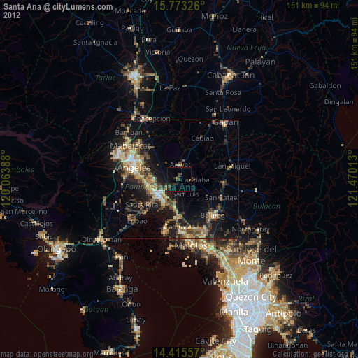
» Earth at Night: Flat Maps 2012, 2016