San Pablo night lights from space
Night Light of San Pablo (Western Visayas) from space (Philippines) Src. Average luminocity for 10x10km area is 1.9177% and for 50x50km: 3.1156%.
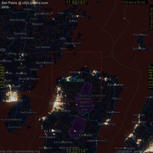
Analysis of San Pablo night lights 2016
Square area 10x10 km:
 0%
0%90-99
0%80-89
0%70-79
0%60-69
0%50-59
1.3%40-49
0.43%30-39
0%20-29
1.73%10-19
0%0-9
96.54%Square area 50x50 km:
0.07%90-99
0.18%80-89
0.5%70-79
0.53%60-69
0.65%50-59
0.54%40-49
0.46%30-39
0.65%20-29
0.77%10-19
2.18%0-9
93.47%Clear (daylight) street map image can be seen on geolist.org.
Map coordinates:
11° 36' 6.9" North, 122° 26' 19.2" East
10° 54' 44.4" North, 123° 8' 30.5" East
10° 13' 16.1" North, 123° 50' 41.7" East
Some cities around San Pablo sort by population:
• Cadiz
16.4 km =10.2 mi,  76°
76°
• Victorias
7.9 km =4.9 mi,  261°
261°
• Manapla
5.5 km =3.4 mi,  338°
338°
• Eustaquio Lopez
15.1 km =9.4 mi,  226°
226°
• Luna
12.6 km =7.8 mi,  60°
60°
• Alicante
13.6 km =8.5 mi, 262°
• Tortosa
6.1 km =3.8 mi,  292°
292°
• Andres Bonifacio
11.8 km =7.3 mi,  87°
87°
1688838 (p: 8,046)
Sources (retrieved 2019-11-25):
» Earth at Night: Flat Maps 2012, 2016