Tortosa night lights from space
Night Light of Tortosa (Western Visayas) from space (Philippines) Src. Average luminocity for 10x10km area is 6.5671% and for 50x50km: 2.4746%.
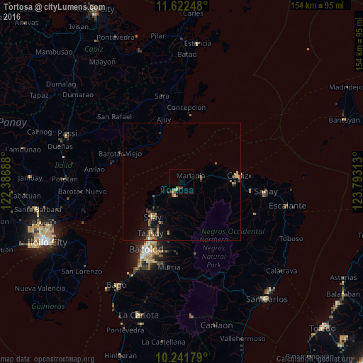
Analysis of Tortosa night lights 2016
Square area 10x10 km:
 0.43%
0.43%90-99
0.43%80-89
0.87%70-79
0.43%60-69
1.52%50-59
2.38%40-49
1.73%30-39
0.65%20-29
0.87%10-19
1.08%0-9
89.61%Square area 50x50 km:
0.05%90-99
0.11%80-89
0.31%70-79
0.39%60-69
0.53%50-59
0.53%40-49
0.43%30-39
0.49%20-29
0.53%10-19
1.78%0-9
94.84%Clear (daylight) street map image can be seen on geolist.org.
Map coordinates:
11° 37' 20.9" North, 122° 23' 12.8" East
10° 55' 58.6" North, 123° 5' 24" East
10° 14' 30.4" North, 123° 47' 35.3" East
Some cities around Tortosa sort by population:
• Victorias
4.1 km =2.5 mi,  211°
211°
• Manapla
4.6 km =2.9 mi,  52°
52°
• Saravia
14.7 km =9.1 mi,  245°
245°
• Eustaquio Lopez
13.7 km =8.5 mi,  202°
202°
• Luna
17.1 km =10.6 mi,  76°
76°
• Alicante
8.8 km =5.5 mi,  242°
242°
• San Pablo
6.1 km =3.8 mi,  112°
112°
• Andres Bonifacio
17.6 km =10.9 mi,  95°
95°
1681388 (p: 7,048)
Sources (retrieved 2019-11-25):
» Earth at Night: Flat Maps 2012, 2016