Manapla night lights from space
Night Light of Manapla (Western Visayas) from space (Philippines) Src. Average luminocity for 10x10km area is 1.9286% and for 50x50km: 2.0204%.
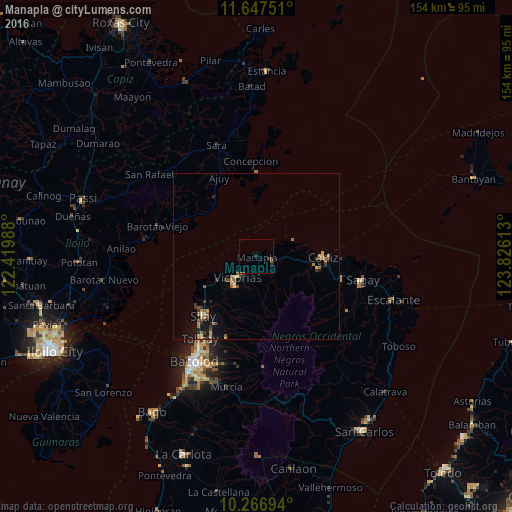
Analysis of Manapla night lights 2016
Square area 10x10 km:
 0%
0%90-99
0%80-89
0%70-79
0%60-69
0%50-59
1.3%40-49
0.43%30-39
0%20-29
2.38%10-19
0.22%0-9
95.67%Square area 50x50 km:
0.03%90-99
0.08%80-89
0.3%70-79
0.3%60-69
0.4%50-59
0.46%40-49
0.31%30-39
0.44%20-29
0.38%10-19
1.15%0-9
96.15%Clear (daylight) street map image can be seen on geolist.org.
Map coordinates:
11° 38' 51" North, 122° 25' 11.6" East
10° 57' 28.9" North, 123° 7' 22.8" East
10° 16' 1" North, 123° 49' 34.1" East
Some cities around Manapla sort by population:
• Cadiz
18.1 km =11.2 mi,  94°
94°
• Victorias
8.5 km =5.3 mi,  222°
222°
• Eustaquio Lopez
17.8 km =11.1 mi,  210°
210°
• Luna
13 km =8.1 mi,  84°
84°
• Alicante
13.3 km =8.3 mi,  239°
239°
• San Pablo
5.5 km =3.4 mi,  158°
158°
• Tortosa
4.6 km =2.9 mi,  232°
232°
• Andres Bonifacio
14.6 km =9.1 mi,  108°
108°
1702077 (p: 34,312)
Sources (retrieved 2019-11-25):
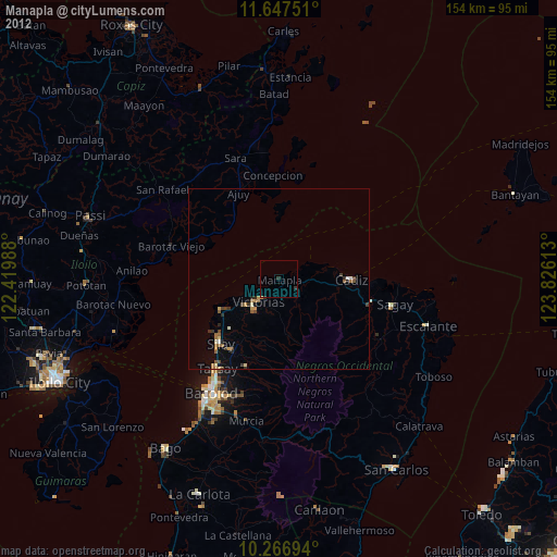
» Earth at Night: Flat Maps 2012, 2016