Andres Bonifacio night lights from space
Night Light of Andres Bonifacio (Western Visayas) from space (Philippines) Src. Average luminocity for 10x10km area is 2.5866% and for 50x50km: 1.3455%.
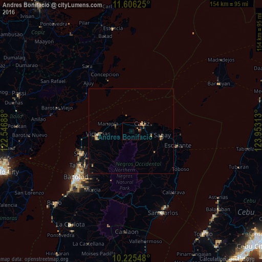
Analysis of Andres Bonifacio night lights 2016
Square area 10x10 km:
 0%
0%90-99
0%80-89
0.87%70-79
0.43%60-69
0.43%50-59
0%40-49
0.65%30-39
1.08%20-29
0%10-19
0%0-9
96.54%Square area 50x50 km:
0.02%90-99
0.06%80-89
0.22%70-79
0.21%60-69
0.33%50-59
0.28%40-49
0.23%30-39
0.22%20-29
0.2%10-19
0.25%0-9
97.98%Clear (daylight) street map image can be seen on geolist.org.
Map coordinates:
11° 36' 22.5" North, 122° 32' 48.8" East
10° 55' 0" North, 123° 15' 0" East
10° 13' 31.7" North, 123° 57' 11.3" East
Some cities around Andres Bonifacio sort by population:
• Cadiz
5.3 km =3.3 mi,  51°
51°
• Manapla
14.6 km =9.1 mi,  288°
288°
• Paraiso
12.8 km =8 mi,  106°
106°
• Luna
5.9 km =3.7 mi,  351°
351°
• San Pablo
11.8 km =7.3 mi,  267°
267°
• Tortosa
17.6 km =10.9 mi,  275°
275°
• Tiglauigan
12.4 km =7.7 mi,  71°
71°
• Bato
18.1 km =11.2 mi,  131°
131°
1730789 (p: 6,494)
Sources (retrieved 2019-11-25):
» Earth at Night: Flat Maps 2012, 2016