San Nicolas night lights from space
Night Light of San Nicolas (Central Luzon) from space (Philippines) Src. Average luminocity for 10x10km area is 5.5758% and for 50x50km: 4.8693%.
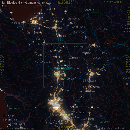
Analysis of San Nicolas night lights 2016
Square area 10x10 km:
 0%
0%90-99
0.43%80-89
0.43%70-79
0.87%60-69
1.52%50-59
2.38%40-49
0%30-39
0.43%20-29
0%10-19
1.3%0-9
92.64%Square area 50x50 km:
0.06%90-99
0.23%80-89
0.43%70-79
0.93%60-69
1.12%50-59
0.59%40-49
0.94%30-39
1.44%20-29
1.53%10-19
3.56%0-9
89.15%Clear (daylight) street map image can be seen on geolist.org.
Map coordinates:
16° 15' 36.9" North, 119° 58' 24.2" East
15° 35' 2.8" North, 120° 40' 35.4" East
14° 54' 20.6" North, 121° 22' 46.7" East
Some cities around San Nicolas sort by population:
• Paniqui
13.9 km =8.6 mi,  312°
312°
• Gerona
8.8 km =5.5 mi,  286°
286°
• Guimba
13 km =8.1 mi,  49°
49°
• Ramos
9.8 km =6.1 mi,  336°
336°
• Pura
5.5 km =3.4 mi,  326°
326°
• Licab
10.3 km =6.4 mi,  115°
115°
• San Manuel
10.5 km =6.5 mi,  186°
186°
• Balingcanaway
11.4 km =7.1 mi,  175°
175°
1688868 (p: 9,526)
Sources (retrieved 2019-11-25):
» Earth at Night: Flat Maps 2012, 2016