Guimba night lights from space
Night Light of Guimba (Central Luzon) from space (Philippines) Src. Average luminocity for 10x10km area is 2.1991% and for 50x50km: 5.9468%.
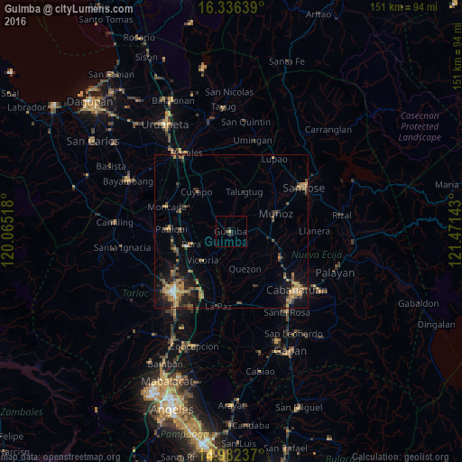
Analysis of Guimba night lights 2016
Square area 10x10 km:
 0%
0%90-99
0%80-89
0.43%70-79
0.43%60-69
0%50-59
0%40-49
0%30-39
2.6%20-29
0%10-19
2.6%0-9
93.94%Square area 50x50 km:
0.06%90-99
0.27%80-89
0.53%70-79
1.55%60-69
1.49%50-59
0.68%40-49
1.18%30-39
1.54%20-29
1.48%10-19
4.19%0-9
87.05%Clear (daylight) street map image can be seen on geolist.org.
Map coordinates:
16° 20' 11" North, 120° 3' 54.6" East
15° 39' 37.8" North, 120° 46' 5.9" East
14° 58' 56.5" North, 121° 28' 17.1" East
Some cities around Guimba sort by population:
• Quezon
13.1 km =8.1 mi,  157°
157°
• Ramos
13.7 km =8.5 mi,  272°
272°
• Baloc
12.7 km =7.9 mi,  98°
98°
• San Nicolas
13 km =8.1 mi,  229°
229°
• Pura
13.5 km =8.4 mi,  252°
252°
• Licab
13 km =8.1 mi,  182°
182°
• Talugtug
13.8 km =8.6 mi,  19°
19°
• Santo Rosario
10.1 km =6.3 mi, 100°
1712488 (p: 32,306)
Sources (retrieved 2019-11-25):
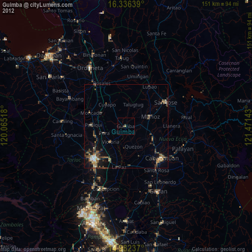
» Earth at Night: Flat Maps 2012, 2016