Paniqui night lights from space
Night Light of Paniqui (Central Luzon) from space (Philippines) Src. Average luminocity for 10x10km area is 7.4459% and for 50x50km: 4.3826%.
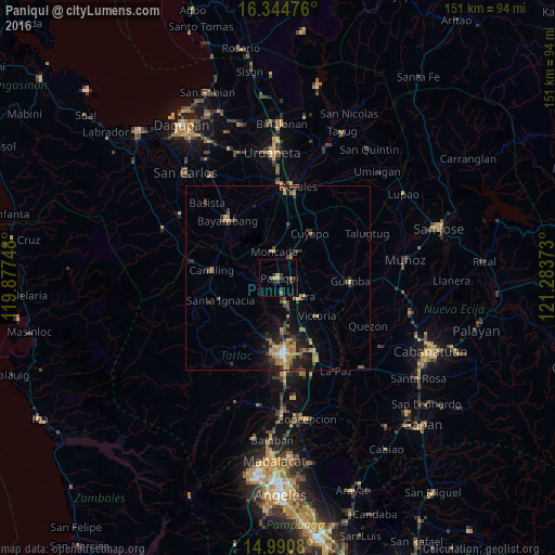
Analysis of Paniqui night lights 2016
Square area 10x10 km:
 0%
0%90-99
0%80-89
0.65%70-79
2.81%60-69
0.87%50-59
0%40-49
0%30-39
3.03%20-29
4.33%10-19
1.73%0-9
86.58%Square area 50x50 km:
0.06%90-99
0.23%80-89
0.41%70-79
0.91%60-69
1.17%50-59
0.45%40-49
0.91%30-39
1.19%20-29
1.31%10-19
2.78%0-9
90.58%Clear (daylight) street map image can be seen on geolist.org.
Map coordinates:
16° 20' 41.1" North, 119° 52' 38.9" East
15° 40' 8" North, 120° 34' 50.2" East
14° 59' 26.9" North, 121° 17' 1.4" East
Some cities around Paniqui sort by population:
• Gerona
7.2 km =4.5 mi,  165°
165°
• Burgos
6.7 km =4.2 mi,  352°
352°
• Ramos
6.4 km =4 mi,  93°
93°
• Sapang
7.1 km =4.4 mi,  302°
302°
• Pura
8.7 km =5.4 mi,  124°
124°
• Nampicuan
8.4 km =5.2 mi,  34°
34°
• Baquero Norte
6 km =3.7 mi,  331°
331°
• Sinilian First
13.3 km =8.3 mi,  281°
281°
1695097 (p: 48,261)
Sources (retrieved 2019-11-25):
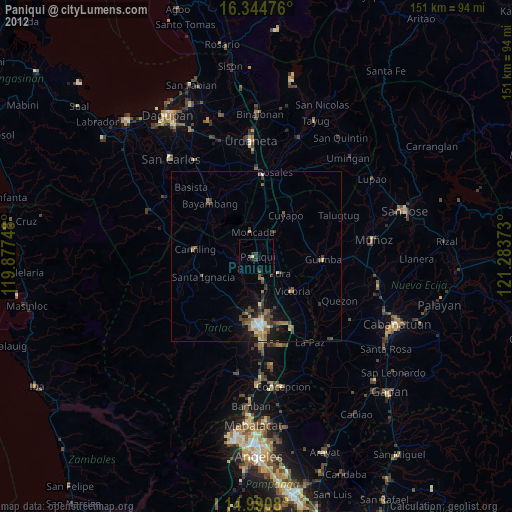
» Earth at Night: Flat Maps 2012, 2016