Palo night lights from space
Night Light of Palo (Eastern Visayas) from space (Philippines) Src. Average luminocity for 10x10km area is 17.0649% and for 50x50km: 2.2612%.
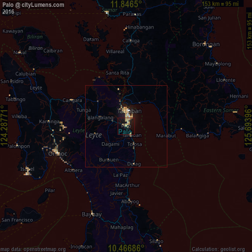
Analysis of Palo night lights 2016
Square area 10x10 km:
 0%
0%90-99
0%80-89
6.49%70-79
3.9%60-69
2.16%50-59
1.73%40-49
1.3%30-39
2.16%20-29
0%10-19
19.26%0-9
62.99%Square area 50x50 km:
0.08%90-99
0.08%80-89
0.65%70-79
0.46%60-69
0.26%50-59
0.15%40-49
0.35%30-39
0.28%20-29
0.34%10-19
2.06%0-9
95.28%Clear (daylight) street map image can be seen on geolist.org.
Map coordinates:
11° 50' 47.4" North, 124° 17' 15.8" East
11° 9' 27" North, 124° 59' 27" East
10° 28' 0.7" North, 125° 41' 38.3" East
Some cities around Palo sort by population:
• Tacloban
9.7 km =6 mi,  9°
9°
• Panalanoy
10.5 km =6.5 mi, 9°
• Tanauan
6 km =3.7 mi,  153°
153°
• Burauen
22.9 km =14.2 mi,  207°
207°
• Dulag
23.2 km =14.4 mi,  168°
168°
• Alangalang
16.6 km =10.3 mi,  288°
288°
• Jaro
22.9 km =14.2 mi,  277°
277°
• Basey
16.3 km =10.1 mi,  31°
31°
1696041 (p: 17,534)
Sources (retrieved 2019-11-25):
» Earth at Night: Flat Maps 2012, 2016