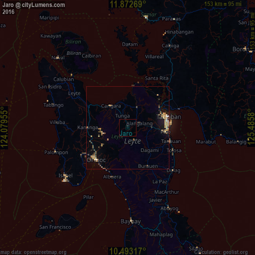
Jaro night lights from space
Night Light of Jaro (Eastern Visayas) from space (Philippines) Src. Average luminocity for 10x10km area is 0.2381% and for 50x50km: 3.0545%.
Analysis of Jaro night lights 2016
Square area 10x10 km:
 0%
0%90-99
0%80-89
0%70-79
0%60-69
0%50-59
0%40-49
0%30-39
0%20-29
0.87%10-19
0%0-9
99.13%Square area 50x50 km:
0.11%90-99
0.09%80-89
0.79%70-79
0.74%60-69
0.35%50-59
0.37%40-49
0.61%30-39
0.37%20-29
0.48%10-19
1.35%0-9
94.73%Clear (daylight) street map image can be seen on geolist.org.
Map coordinates:
11° 52' 21.7" North, 124° 4' 46.4" East
11° 11' 1.5" North, 124° 46' 57.6" East
10° 29' 35.4" North, 125° 29' 8.9" East
Some cities around Jaro sort by population:
• Tacloban
25.1 km =15.6 mi,  74°
74°
• Panalanoy
25.5 km =15.8 mi, 72°
• Palo
22.9 km =14.2 mi,  97°
97°
• Carigara
17 km =10.6 mi,  318°
318°
• Capoocan
19.6 km =12.2 mi,  308°
308°
• Alangalang
7.4 km =4.6 mi, 70°
• Kananya
24.3 km =15.1 mi,  270°
270°
• Barugo
16.3 km =10.1 mi,  342°
342°
1710262 (p: 7,935)
Sources (retrieved 2019-11-25):
» Earth at Night: Flat Maps 2012, 2016