Burauen night lights from space
Night Light of Burauen (Eastern Visayas) from space (Philippines) Src. Average luminocity for 10x10km area is 0.3874% and for 50x50km: 1.0785%.
Analysis of Burauen night lights 2016
Square area 10x10 km:
 0%
0%90-99
0%80-89
0%70-79
0%60-69
0%50-59
0%40-49
0.87%30-39
0%20-29
0%10-19
0%0-9
99.13%Square area 50x50 km:
0%90-99
0%80-89
0.29%70-79
0.22%60-69
0.08%50-59
0.1%40-49
0.26%30-39
0.29%20-29
0.11%10-19
0.89%0-9
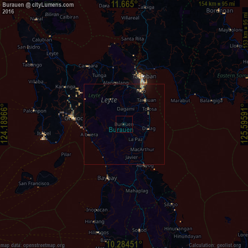
97.75%Clear (daylight) street map image can be seen on geolist.org.
Map coordinates:
11° 39' 54" North, 124° 11' 22.8" East
10° 58' 32" North, 124° 53' 34" East
10° 17' 4.2" North, 125° 35' 45.3" East
Some cities around Burauen sort by population:
• Ormoc
31.3 km =19.4 mi,  276°
276°
• Palo
22.9 km =14.2 mi,  27°
27°
• Tanauan
20 km =12.4 mi,  41°
41°
• Abuyog
28.5 km =17.7 mi,  153°
153°
• Dulag
15.4 km =9.6 mi,  99°
99°
• Alangalang
26.1 km =16.2 mi,  348°
348°
• Jaro
26.1 km =16.2 mi,  332°
332°
• Balogo
22.2 km =13.8 mi,  243°
243°
1722481 (p: 14,268)
Sources (retrieved 2019-11-25):
» Earth at Night: Flat Maps 2012, 2016