Tacloban night lights from space
Night Light of Tacloban (Eastern Visayas) from space (Philippines) Src. Average luminocity for 10x10km area is 27.9329% and for 50x50km: 2.2361%.
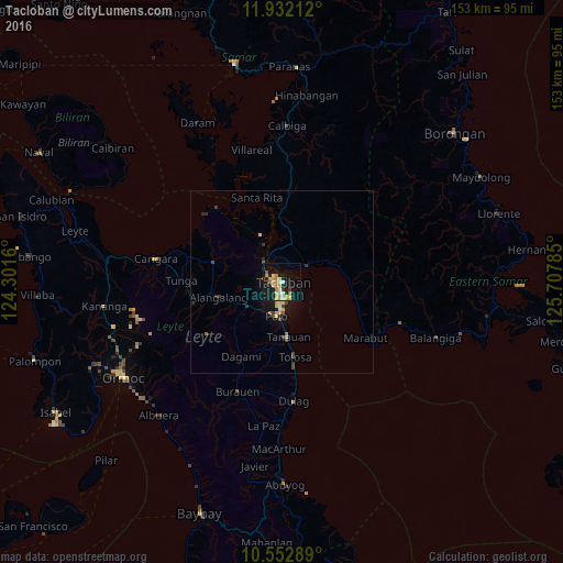
Analysis of Tacloban night lights 2016
Square area 10x10 km:
 2.16%
2.16%90-99
2.16%80-89
8.23%70-79
6.93%60-69
4.55%50-59
0.87%40-49
1.52%30-39
1.08%20-29
4.33%10-19
30.3%0-9
37.88%Square area 50x50 km:
0.08%90-99
0.08%80-89
0.65%70-79
0.42%60-69
0.26%50-59
0.15%40-49
0.31%30-39
0.31%20-29
0.41%10-19
2.02%0-9
95.28%Clear (daylight) street map image can be seen on geolist.org.
Map coordinates:
11° 55' 55.6" North, 124° 18' 5.8" East
11° 14' 36" North, 125° 0' 17" East
10° 33' 10.4" North, 125° 42' 28.3" East
Some cities around Tacloban sort by population:
• Panalanoy
0.9 km =0.6 mi,  11°
11°
• Palo
9.7 km =6 mi,  189°
189°
• Tanauan
14.9 km =9.3 mi,  175°
175°
• Alangalang
17.7 km =11 mi,  256°
256°
• Jaro
25.1 km =15.6 mi,  254°
254°
• Basey
8.3 km =5.2 mi,  58°
58°
• Barugo
30.4 km =18.9 mi,  287°
287°
• Babatngon
26.6 km =16.5 mi,  319°
319°
1684712 (p: 242,089)
Sources (retrieved 2019-11-25):
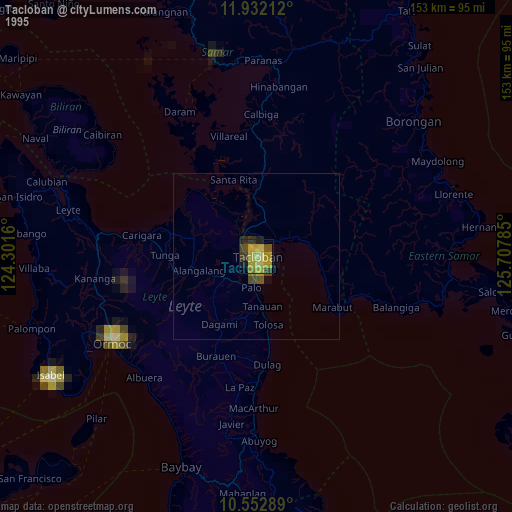
» NASA, Earths city lights 1995
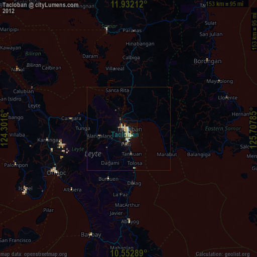
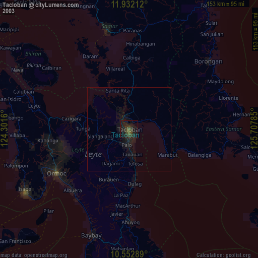
» NASA city lights 2003
» Earth at Night: Flat Maps 2012, 2016