Panalanoy night lights from space
Night Light of Panalanoy (Eastern Visayas) from space (Philippines) Src. Average luminocity for 10x10km area is 23.5022% and for 50x50km: 2.2344%.
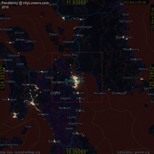
Analysis of Panalanoy night lights 2016
Square area 10x10 km:
 1.95%
1.95%90-99
1.95%80-89
5.84%70-79
5.84%60-69
4.11%50-59
0.65%40-49
1.3%30-39
1.08%20-29
3.9%10-19
24.24%0-9
49.13%Square area 50x50 km:
0.08%90-99
0.08%80-89
0.65%70-79
0.42%60-69
0.26%50-59
0.15%40-49
0.31%30-39
0.31%20-29
0.41%10-19
2.02%0-9
95.28%Clear (daylight) street map image can be seen on geolist.org.
Map coordinates:
11° 56' 23.6" North, 124° 18' 11.8" East
11° 15' 4" North, 125° 0' 23" East
10° 33' 38.5" North, 125° 42' 34.3" East
Some cities around Panalanoy sort by population:
• Tacloban
0.9 km =0.6 mi,  191°
191°
• Palo
10.5 km =6.5 mi, 189°
• Tanauan
15.8 km =9.8 mi,  176°
176°
• Alangalang
18.1 km =11.2 mi,  253°
253°
• Jaro
25.5 km =15.8 mi, 252°
• Basey
7.7 km =4.8 mi,  63°
63°
• Barugo
30.3 km =18.8 mi,  285°
285°
• Babatngon
26.1 km =16.2 mi,  317°
317°
1695743 (p: 189,090)
Sources (retrieved 2019-11-25):
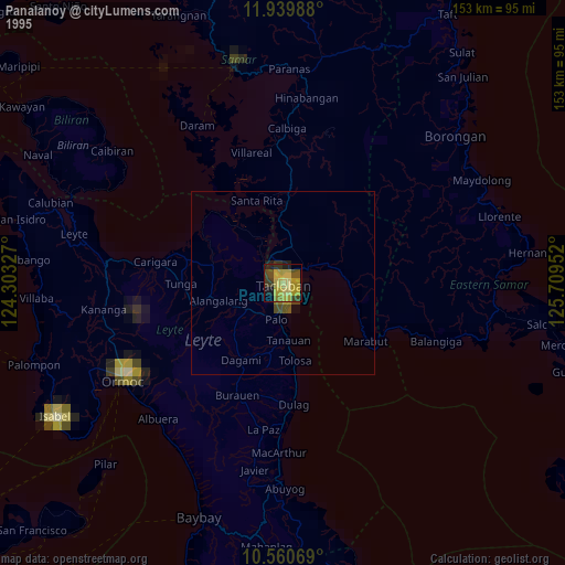
» NASA, Earths city lights 1995
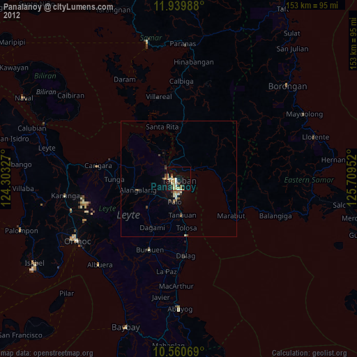
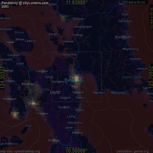
» NASA city lights 2003
» Earth at Night: Flat Maps 2012, 2016