Palayan City night lights from space
Night Light of Palayan City (Central Luzon) from space (Philippines) Src. Average luminocity for 10x10km area is 2.368% and for 50x50km: 2.6151%.
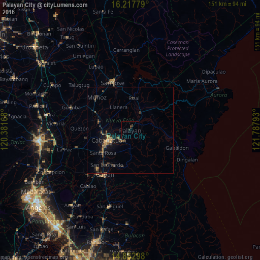
Analysis of Palayan City night lights 2016
Square area 10x10 km:
 0%
0%90-99
0%80-89
0%70-79
0%60-69
0%50-59
0%40-49
1.95%30-39
2.38%20-29
0.87%10-19
0%0-9
94.81%Square area 50x50 km:
0%90-99
0.03%80-89
0.18%70-79
0.68%60-69
0.38%50-59
0.28%40-49
0.8%30-39
0.72%20-29
0.62%10-19
2.01%0-9
94.29%Clear (daylight) street map image can be seen on geolist.org.
Map coordinates:
16° 13' 4" North, 120° 22' 54" East
15° 32' 29.4" North, 121° 5' 5.3" East
14° 51' 46.7" North, 121° 47' 16.5" East
Some cities around Palayan City sort by population:
• Cabanatuan City
14.1 km =8.8 mi,  243°
243°
• Talavera
18.5 km =11.5 mi,  286°
286°
• Bongabon
11.9 km =7.4 mi,  32°
32°
• Rizal
19.1 km =11.9 mi,  6°
6°
• Laur
11.7 km =7.3 mi,  64°
64°
• General Mamerto Natividad
7.7 km =4.8 mi,  332°
332°
• Mabini
12.7 km =7.9 mi,  300°
300°
• Llanera
15.3 km =9.5 mi, 332°
1696165 (p: 23,742)
Sources (retrieved 2019-11-25):
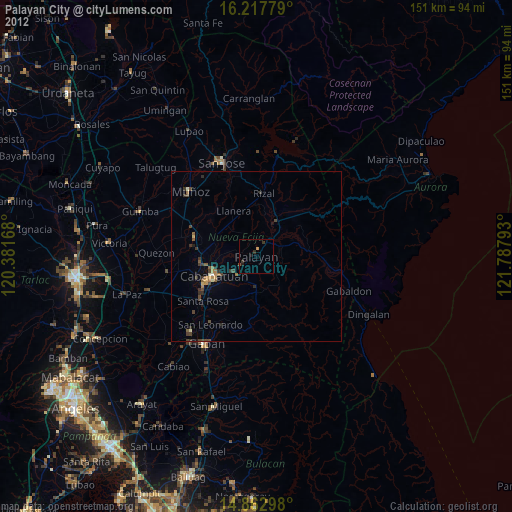
» Earth at Night: Flat Maps 2012, 2016