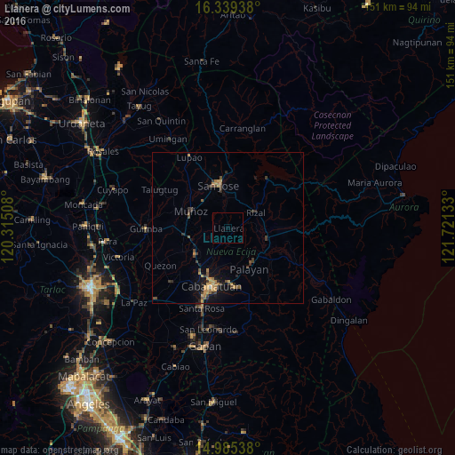
Llanera night lights from space
Night Light of Llanera (Central Luzon) from space (Philippines) Src. Average luminocity for 10x10km area is 0% and for 50x50km: 2.4241%.
Analysis of Llanera night lights 2016
Square area 10x10 km:
 0%
0%90-99
0%80-89
0%70-79
0%60-69
0%50-59
0%40-49
0%30-39
0%20-29
0%10-19
0%0-9
100%Square area 50x50 km:
0%90-99
0.03%80-89
0.18%70-79
0.75%60-69
0.4%50-59
0.28%40-49
0.7%30-39
0.68%20-29
0.48%10-19
1.62%0-9
94.88%Clear (daylight) street map image can be seen on geolist.org.
Map coordinates:
16° 20' 21.8" North, 120° 18' 54.3" East
15° 39' 48.6" North, 121° 1' 5.5" East
14° 59' 7.4" North, 121° 43' 16.8" East
Some cities around Llanera sort by population:
• Talavera
13.5 km =8.4 mi,  231°
231°
• Muñoz
13.6 km =8.5 mi,  295°
295°
• Bongabon
14 km =8.7 mi,  104°
104°
• Rizal
10.8 km =6.7 mi,  60°
60°
• General Mamerto Natividad
7.7 km =4.8 mi,  152°
152°
• Baloc
14.4 km =8.9 mi,  261°
261°
• Mabini
8 km =5 mi,  207°
207°
• Santo Tomas
11.3 km =7 mi,  328°
328°
1705922 (p: 5,121)
Sources (retrieved 2019-11-25):
» Earth at Night: Flat Maps 2012, 2016