Rizal night lights from space
Night Light of Rizal (Central Luzon) from space (Philippines) Src. Average luminocity for 10x10km area is 0.6277% and for 50x50km: 1.5832%.
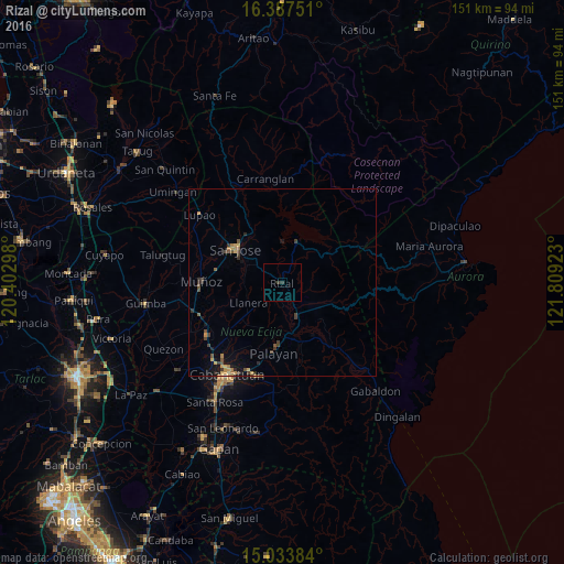
Analysis of Rizal night lights 2016
Square area 10x10 km:
 0%
0%90-99
0%80-89
0%70-79
0%60-69
0%50-59
0%40-49
0.22%30-39
0.87%20-29
0.65%10-19
0%0-9
98.27%Square area 50x50 km:
0%90-99
0%80-89
0.12%70-79
0.48%60-69
0.24%50-59
0.15%40-49
0.51%30-39
0.57%20-29
0.33%10-19
0.83%0-9
96.78%Clear (daylight) street map image can be seen on geolist.org.
Map coordinates:
16° 23' 15" North, 120° 24' 10.7" East
15° 42' 42.5" North, 121° 6' 22" East
15° 2' 1.8" North, 121° 48' 33.2" East
Some cities around Rizal sort by population:
• Bongabon
9.8 km =6.1 mi,  154°
154°
• Palayan City
19.1 km =11.9 mi,  186°
186°
• Laur
16.2 km =10.1 mi, 149°
• General Mamerto Natividad
13.5 km =8.4 mi,  205°
205°
• Mabini
18.1 km =11.2 mi,  226°
226°
• Pantabangan
11.8 km =7.3 mi,  20°
20°
• Santo Tomas
15.9 km =9.9 mi,  285°
285°
• Llanera
10.8 km =6.7 mi,  240°
240°
1691606 (p: 26,201)
Sources (retrieved 2019-11-25):
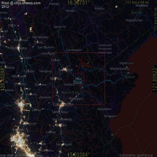
» Earth at Night: Flat Maps 2012, 2016