Oras night lights from space
Night Light of Oras (Eastern Visayas) from space (Philippines) Src. Average luminocity for 10x10km area is 0.8017% and for 50x50km: 0.0616%.
Analysis of Oras night lights 2016
Square area 10x10 km:
 0%
0%90-99
0%80-89
0%70-79
0%60-69
0.83%50-59
0%40-49
0%30-39
0%20-29
0.83%10-19
0%0-9
98.35%Square area 50x50 km:
0%90-99
0%80-89
0%70-79
0%60-69
0.03%50-59
0%40-49
0.03%30-39
0.03%20-29
0.03%10-19
0%0-9
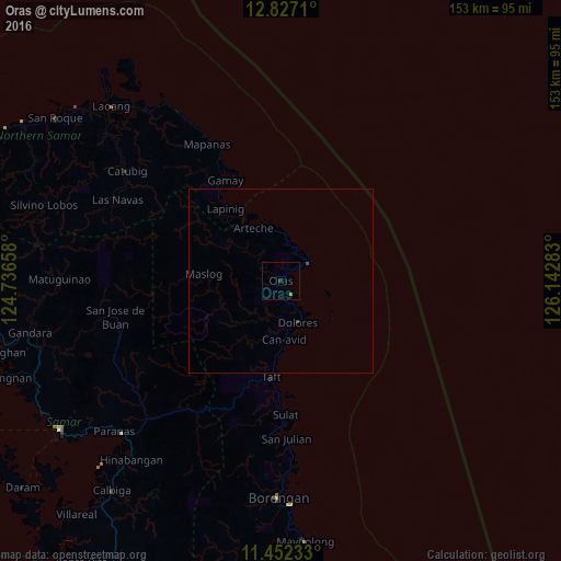
99.87%Clear (daylight) street map image can be seen on geolist.org.
Map coordinates:
12° 49' 37.6" North, 124° 44' 11.7" East
12° 8' 26.2" North, 125° 26' 22.9" East
11° 27' 8.4" North, 126° 8' 34.2" East
Some cities around Oras sort by population:
• Laoang
66.4 km =41.3 mi,  315°
315°
• Borongan
59.2 km =36.8 mi,  180°
180°
• Dolores
12.4 km =7.7 mi,  157°
157°
• Gamay
31.3 km =19.4 mi,  330°
330°
• Palapag
57.2 km =35.5 mi, 321°
• Can-Avid
16.2 km =10.1 mi, 177°
• Maydolong
71.5 km =44.4 mi,  174°
174°
• Arteche
14.3 km =8.9 mi,  344°
344°
1697042 (p: 9,022)
Sources (retrieved 2019-11-25):
» Earth at Night: Flat Maps 2012, 2016