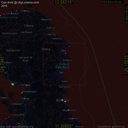
Can-Avid night lights from space
Night Light of Can-Avid (Eastern Visayas) from space (Philippines) Src. Average luminocity for 10x10km area is 0.1612% and for 50x50km: 0.069%.
Analysis of Can-Avid night lights 2016
Square area 10x10 km:
 0%
0%90-99
0%80-89
0%70-79
0%60-69
0%50-59
0%40-49
0%30-39
0.41%20-29
0%10-19
0%0-9
99.59%Square area 50x50 km:
0%90-99
0%80-89
0%70-79
0%60-69
0.03%50-59
0%40-49
0.03%30-39
0.03%20-29
0.07%10-19
0%0-9
99.83%Clear (daylight) street map image can be seen on geolist.org.
Map coordinates:
12° 40' 55.8" North, 124° 44' 38.8" East
11° 59' 43" North, 125° 26' 50" East
11° 18' 23.9" North, 126° 9' 1.3" East
Some cities around Can-Avid sort by population:
• Catbalogan
65.8 km =40.9 mi,  248°
248°
• Borongan
43.1 km =26.8 mi,  182°
182°
• Dolores
6 km =3.7 mi,  39°
39°
• Gamay
46.3 km =28.8 mi,  339°
339°
• Oras
16.2 km =10.1 mi,  357°
357°
• Llorente
65.7 km =40.8 mi,  170°
170°
• Maydolong
55.3 km =34.4 mi, 174°
• Arteche
30.3 km =18.8 mi,  351°
351°
1719395 (p: 5,928)
Sources (retrieved 2019-11-25):
» Earth at Night: Flat Maps 2012, 2016