Gamay night lights from space
Night Light of Gamay (Eastern Visayas) from space (Philippines) Src. Average luminocity for 10x10km area is 0% and for 50x50km: 0.0149%.
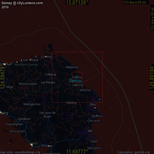
Analysis of Gamay night lights 2016
Square area 10x10 km:
 0%
0%90-99
0%80-89
0%70-79
0%60-69
0%50-59
0%40-49
0%30-39
0%20-29
0%10-19
0%0-9
100%Square area 50x50 km:
0%90-99
0%80-89
0%70-79
0%60-69
0%50-59
0%40-49
0.03%30-39
0%20-29
0%10-19
0%0-9
99.97%Clear (daylight) street map image can be seen on geolist.org.
Map coordinates:
13° 4' 16.5" North, 124° 35' 41.2" East
12° 23' 7.5" North, 125° 17' 52.5" East
11° 41' 52" North, 126° 0' 3.7" East
Some cities around Gamay sort by population:
• Laoang
37 km =23 mi,  303°
303°
• Pambujan
44.8 km =27.8 mi, 296°
• Dolores
43.6 km =27.1 mi,  152°
152°
• Oras
31.3 km =19.4 mi, 150°
• Palapag
26.7 km =16.6 mi,  311°
311°
• Can-Avid
46.3 km =28.8 mi,  159°
159°
• Mondragon
61 km =37.9 mi,  283°
283°
• Arteche
17.8 km =11.1 mi,  139°
139°
1713309 (p: 9,125)
Sources (retrieved 2019-11-25):
» Earth at Night: Flat Maps 2012, 2016