Maydolong night lights from space
Night Light of Maydolong (Eastern Visayas) from space (Philippines) Src. Average luminocity for 10x10km area is 0.7922% and for 50x50km: 0.1867%.
Analysis of Maydolong night lights 2016
Square area 10x10 km:
 0%
0%90-99
0%80-89
0%70-79
0%60-69
0%50-59
0.87%40-49
0%30-39
0%20-29
0.65%10-19
0.22%0-9
98.27%Square area 50x50 km:
0%90-99
0%80-89
0.03%70-79
0.07%60-69
0%50-59
0.07%40-49
0.03%30-39
0.07%20-29
0.03%10-19
0.04%0-9
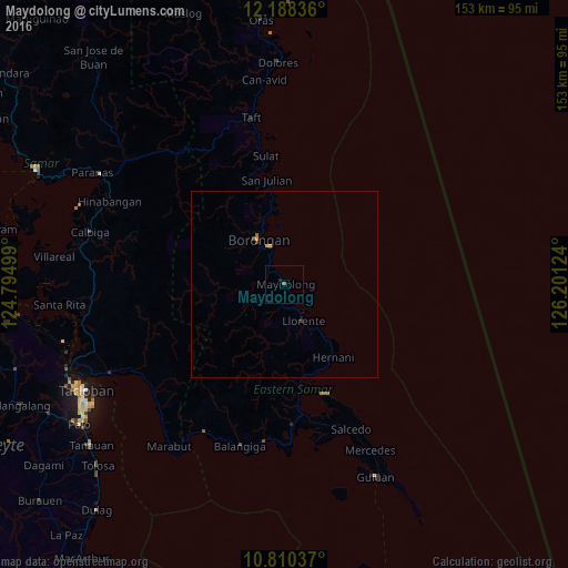
99.67%Clear (daylight) street map image can be seen on geolist.org.
Map coordinates:
12° 11' 18.1" North, 124° 47' 42" East
11° 30' 0.8" North, 125° 29' 53.2" East
10° 48' 37.3" North, 126° 12' 4.5" East
Some cities around Maydolong sort by population:
• Borongan
14 km =8.7 mi,  328°
328°
• Guiuan
57.7 km =35.9 mi,  154°
154°
• Dolores
59.7 km =37.1 mi,  358°
358°
• Llorente
11.1 km =6.9 mi, 152°
• Basey
52.6 km =32.7 mi,  242°
242°
• Can-Avid
55.3 km =34.4 mi,  354°
354°
• Balangiga
45.1 km =28 mi,  195°
195°
• Giporlos
42.6 km =26.5 mi,  187°
187°
1700013 (p: 5,492)
Sources (retrieved 2019-11-25):
» Earth at Night: Flat Maps 2012, 2016