Palapag night lights from space
Night Light of Palapag (Eastern Visayas) from space (Philippines) Src. Average luminocity for 10x10km area is 0% and for 50x50km: 0.0496%.
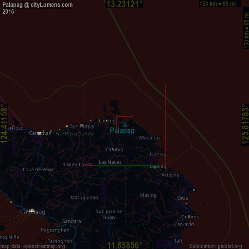
Analysis of Palapag night lights 2016
Square area 10x10 km:
 0%
0%90-99
0%80-89
0%70-79
0%60-69
0%50-59
0%40-49
0%30-39
0%20-29
0%10-19
0%0-9
100%Square area 50x50 km:
0%90-99
0%80-89
0%70-79
0%60-69
0%50-59
0.03%40-49
0.03%30-39
0.03%20-29
0%10-19
0%0-9
99.9%Clear (daylight) street map image can be seen on geolist.org.
Map coordinates:
13° 13' 52.4" North, 124° 24' 41.7" East
12° 32' 44.9" North, 125° 6' 52.9" East
11° 51' 30.8" North, 125° 49' 4.2" East
Some cities around Palapag sort by population:
• Catarman
52 km =32.3 mi,  264°
264°
• Laoang
11.2 km =7 mi,  283°
283°
• Pambujan
20.4 km =12.7 mi, 275°
• Dolores
69.3 km =43.1 mi,  144°
144°
• Gamay
26.7 km =16.6 mi,  131°
131°
• Oras
57.2 km =35.5 mi, 141°
• Mondragon
39.5 km =24.5 mi,  265°
265°
• Arteche
44.4 km =27.6 mi, 134°
1696234 (p: 8,342)
Sources (retrieved 2019-11-25):
» Earth at Night: Flat Maps 2012, 2016