Borongan night lights from space
Night Light of Borongan (Eastern Visayas) from space (Philippines) Src. Average luminocity for 10x10km area is 3.5736% and for 50x50km: 0.1867%.
Analysis of Borongan night lights 2016
Square area 10x10 km:
 0%
0%90-99
0%80-89
0.87%70-79
1.73%60-69
0%50-59
0.87%40-49
0.87%30-39
0.87%20-29
0%10-19
0%0-9
94.81%Square area 50x50 km:
0%90-99
0%80-89
0.03%70-79
0.07%60-69
0%50-59
0.07%40-49
0.03%30-39
0.07%20-29
0.03%10-19
0.04%0-9
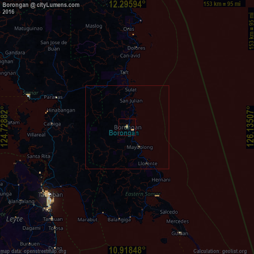
99.67%Clear (daylight) street map image can be seen on geolist.org.
Map coordinates:
12° 17' 45.4" North, 124° 43' 43.8" East
11° 36' 29" North, 125° 25' 55" East
10° 55' 6.5" North, 126° 8' 6.3" East
Some cities around Borongan sort by population:
• Dolores
48 km =29.8 mi,  6°
6°
• Oras
59.2 km =36.8 mi,  0°
0°
• Llorente
25.1 km =15.6 mi,  150°
150°
• Basey
53.6 km =33.3 mi,  227°
227°
• Can-Avid
43.1 km =26.8 mi, 2°
• Balangiga
55.6 km =34.5 mi,  184°
184°
• Maydolong
14 km =8.7 mi, 148°
• Giporlos
54.3 km =33.7 mi, 177°
1723893 (p: 16,484)
Sources (retrieved 2019-11-25):
» Earth at Night: Flat Maps 2012, 2016