Morong night lights from space
Night Light of Morong (Central Luzon) from space (Philippines) Src. Average luminocity for 10x10km area is 2.2252% and for 50x50km: 4.5834%.
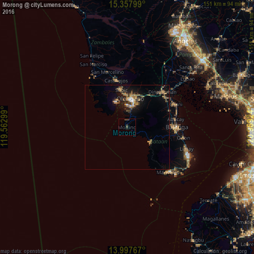
Analysis of Morong night lights 2016
Square area 10x10 km:
 0%
0%90-99
0%80-89
0%70-79
0%60-69
0%50-59
0.41%40-49
1.24%30-39
2.48%20-29
0.83%10-19
1.45%0-9
93.6%Square area 50x50 km:
0.26%90-99
0.26%80-89
0.12%70-79
1.08%60-69
0.99%50-59
0.6%40-49
0.74%30-39
1.04%20-29
1.32%10-19
3.7%0-9
89.86%Clear (daylight) street map image can be seen on geolist.org.
Map coordinates:
15° 21' 28.8" North, 119° 33' 46.8" East
14° 40' 44" North, 120° 15' 58" East
13° 59' 51.6" North, 120° 58' 9.3" East
Some cities around Morong sort by population:
• Olongapo
16.8 km =10.4 mi,  6°
6°
• Balanga
29 km =18 mi,  90°
90°
• Subic
22.5 km =14 mi,  350°
350°
• Dinalupihan
29.9 km =18.6 mi,  42°
42°
• Abucay
29.4 km =18.3 mi,  78°
78°
• Castillejos
29.3 km =18.2 mi, 345°
• Balsic
30.7 km =19.1 mi,  49°
49°
• Sabang
2.4 km =1.5 mi,  317°
317°
1699204 (p: 16,117)
Sources (retrieved 2019-11-25):
» Earth at Night: Flat Maps 2012, 2016