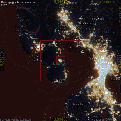
Balanga night lights from space
Night Light of Balanga (Central Luzon) from space (Philippines) Src. Average luminocity for 10x10km area is 22.9897% and for 50x50km: 6.3391%.


Analysis of Balanga night lights 2016
Square area 10x10 km:
 0.62%
0.62%90-99
1.03%80-89
2.27%70-79
4.96%60-69
8.68%50-59
1.45%40-49
4.13%30-39
5.37%20-29
0.62%10-19
16.53%0-9
54.34%Square area 50x50 km:
0.21%90-99
0.12%80-89
0.28%70-79
1.17%60-69
1.6%50-59
0.89%40-49
1.27%30-39
1.69%20-29
1.35%10-19
5.25%0-9
86.15%Clear (daylight) street map image can be seen on geolist.org.
Map coordinates:
15° 21' 18.8" North, 119° 49' 58.8" East
14° 40' 34" North, 120° 32' 10" East
13° 59' 41.6" North, 121° 14' 21.3" East
Some cities around Balanga sort by population:
• Limay
14.4 km =8.9 mi,  152°
152°
• Orion
7.9 km =4.9 mi,  141°
141°
• Orani
13.8 km =8.6 mi,  0°
0°
• Abucay
6.4 km =4 mi,  357°
357°
• Hermosa
17.5 km =10.9 mi,  350°
350°
• Samal
10.2 km =6.3 mi, 4°
• Pilar
3.6 km =2.2 mi,  119°
119°
• Balsic
21.1 km =13.1 mi,  344°
344°
1728523 (p: 72,954)
Sources (retrieved 2019-11-25):
» NASA, Earths city lights 1995
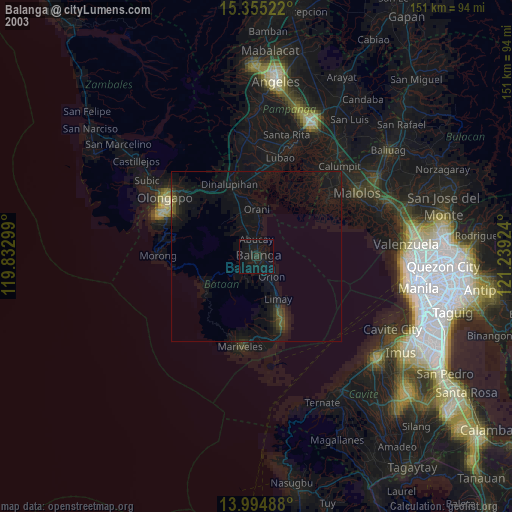
» NASA city lights 2003
» Earth at Night: Flat Maps 2012, 2016