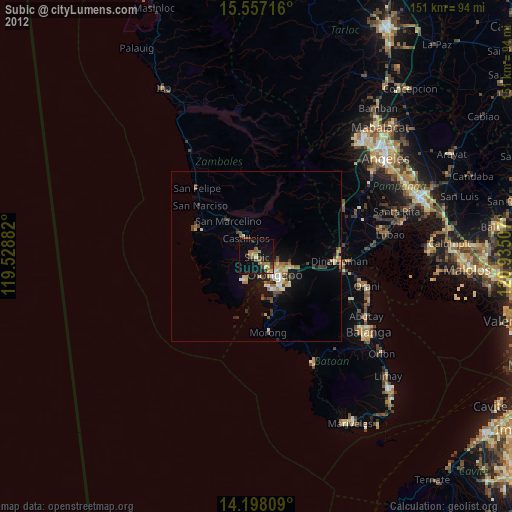
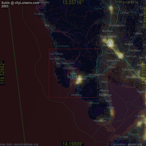
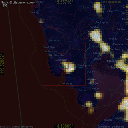
Subic night lights from space
Night Light of Subic (Central Luzon) from space (Philippines) Src. Average luminocity for 10x10km area is 18.8492% and for 50x50km: 4.3368%.

Analysis of Subic night lights 2016
Square area 10x10 km:
 0%
0%90-99
0%80-89
0.83%70-79
4.34%60-69
4.13%50-59
3.51%40-49
4.34%30-39
3.93%20-29
4.96%10-19
23.14%0-9
50.83%Square area 50x50 km:
0.26%90-99
0.26%80-89
0.11%70-79
0.95%60-69
0.98%50-59
0.59%40-49
0.76%30-39
0.94%20-29
1.4%10-19
3.47%0-9
90.27%Clear (daylight) street map image can be seen on geolist.org.
Map coordinates:
15° 33' 25.8" North, 119° 31' 43.8" East
14° 52' 43.3" North, 120° 13' 55" East
14° 11' 53.1" North, 120° 56' 6.3" East
Some cities around Subic sort by population:
• Olongapo
7.8 km =4.8 mi,  135°
135°
• Dinalupihan
23.7 km =14.7 mi,  90°
90°
• San Antonio
17.3 km =10.7 mi,  295°
295°
• Castillejos
7.1 km =4.4 mi,  329°
329°
• San Marcelino
13.3 km =8.3 mi,  322°
322°
• Morong
22.5 km =14 mi,  170°
170°
• San Narciso
22.2 km =13.8 mi,  312°
312°
• Sabang
20.5 km =12.7 mi, 174°
1685577 (p: 67,664)
Sources (retrieved 2019-11-25):
» NASA, Earths city lights 1995
» NASA city lights 2003
» Earth at Night: Flat Maps 2012, 2016