Abucay night lights from space
Night Light of Abucay (Central Luzon) from space (Philippines) Src. Average luminocity for 10x10km area is 14.2686% and for 50x50km: 6.5278%.
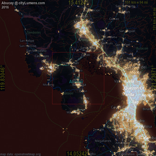
Analysis of Abucay night lights 2016
Square area 10x10 km:
 0%
0%90-99
0%80-89
0%70-79
3.1%60-69
3.31%50-59
1.03%40-49
4.34%30-39
6.4%20-29
1.65%10-19
6.82%0-9
73.35%Square area 50x50 km:
0.24%90-99
0.17%80-89
0.3%70-79
1.17%60-69
1.62%50-59
0.82%40-49
1.51%30-39
1.62%20-29
1.53%10-19
5.1%0-9
85.91%Clear (daylight) street map image can be seen on geolist.org.
Map coordinates:
15° 24' 44.6" North, 119° 49' 49.7" East
14° 44' 0.5" North, 120° 32' 0.9" East
14° 3' 8.7" North, 121° 14' 12.2" East
Some cities around Abucay sort by population:
• Balanga
6.4 km =4 mi,  177°
177°
• Dinalupihan
18.3 km =11.4 mi,  331°
331°
• Orion
13.6 km =8.5 mi,  157°
157°
• Orani
7.5 km =4.7 mi,  2°
2°
• Hermosa
11.2 km =7 mi,  345°
345°
• Samal
3.9 km =2.4 mi,  14°
14°
• Pilar
8.9 km =5.5 mi, 157°
• Balsic
15 km =9.3 mi,  338°
338°
1732354 (p: 35,508)
Sources (retrieved 2019-11-25):
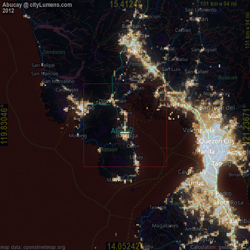
» Earth at Night: Flat Maps 2012, 2016