Meycauayan night lights from space
Night Light of Meycauayan (Central Luzon) from space (Philippines) Src. Average luminocity for 10x10km area is 73.8657% and for 50x50km: 39.0538%.
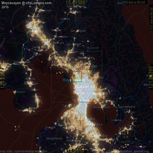
Analysis of Meycauayan night lights 2016
Square area 10x10 km:
 7.64%
7.64%90-99
16.53%80-89
24.79%70-79
17.77%60-69
16.12%50-59
2.69%40-49
0.62%30-39
7.44%20-29
6.4%10-19
0%0-9
0%Square area 50x50 km:
11.52%90-99
5.84%80-89
3.6%70-79
7.22%60-69
7.21%50-59
3.21%40-49
4.07%30-39
4.79%20-29
6.46%10-19
10.57%0-9
35.51%Clear (daylight) street map image can be seen on geolist.org.
Map coordinates:
15° 24' 57.1" North, 120° 15' 27.8" East
14° 44' 13" North, 120° 57' 39" East
14° 3' 21.2" North, 121° 39' 50.3" East
Some cities around Meycauayan sort by population:
• Caloocan City
9.7 km =6 mi,  175°
175°
• Navotas
7.9 km =4.9 mi,  188°
188°
• Tanza
7.2 km =4.5 mi,  198°
198°
• Bocaue
7.8 km =4.8 mi,  331°
331°
• Marilao
2.7 km =1.7 mi, 329°
• Obando
4 km =2.5 mi,  221°
221°
• Loma de Gato
7.1 km =4.4 mi,  35°
35°
• Sulucan
7.4 km =4.6 mi, 329°
1699802 (p: 184,839)
Sources (retrieved 2019-11-25):
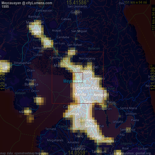
» NASA, Earths city lights 1995
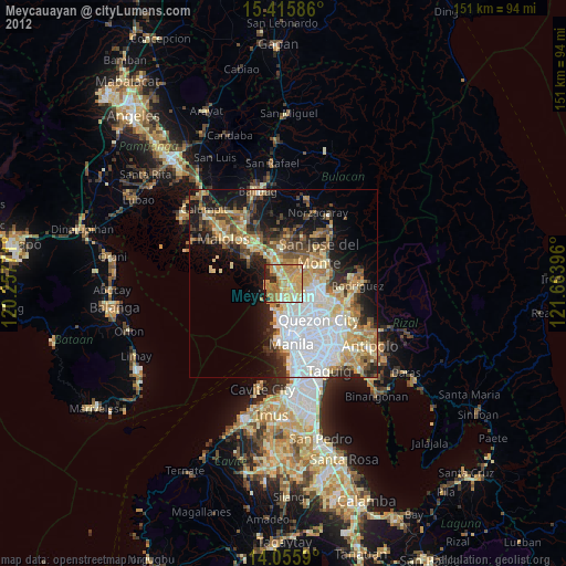
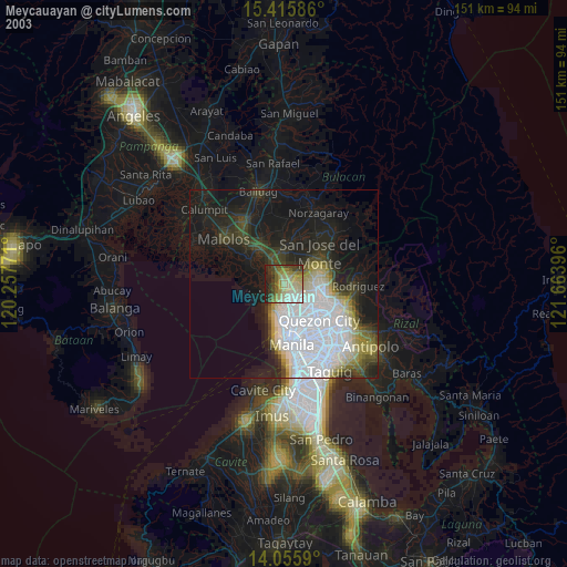
» NASA city lights 2003
» Earth at Night: Flat Maps 2012, 2016