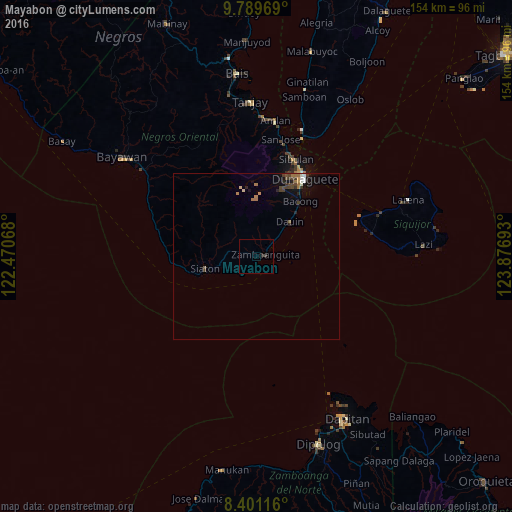
Mayabon night lights from space
Night Light of Mayabon (Central Visayas) from space (Philippines) Src. Average luminocity for 10x10km area is 0.684% and for 50x50km: 1.2909%.
Analysis of Mayabon night lights 2016
Square area 10x10 km:
 0%
0%90-99
0%80-89
0%70-79
0%60-69
0%50-59
0%40-49
0.87%30-39
0%20-29
0.87%10-19
0%0-9
98.27%Square area 50x50 km:
0.05%90-99
0.17%80-89
0.08%70-79
0.08%60-69
0.39%50-59
0.08%40-49
0.44%30-39
0.33%20-29
0.27%10-19
0.52%0-9
97.58%Clear (daylight) street map image can be seen on geolist.org.
Map coordinates:
9° 47' 22.9" North, 122° 28' 14.4" East
9° 5' 46" North, 123° 10' 25.7" East
8° 24' 4.2" North, 123° 52' 36.9" East
Some cities around Mayabon sort by population:
• Dumaguete
27.4 km =17 mi,  31°
31°
• Sibulan
31.6 km =19.6 mi,  22°
22°
• Manalongon
34.5 km =21.4 mi,  293°
293°
• Bonawon
28.3 km =17.6 mi,  278°
278°
• Siaton
15.7 km =9.8 mi,  257°
257°
• Zamboanguita
2.9 km =1.8 mi,  75°
75°
• Maloh
21.2 km =13.2 mi, 257°
• Bacong
21.4 km =13.3 mi,  38°
38°
1700092 (p: 6,521)
Sources (retrieved 2019-11-25):
» Earth at Night: Flat Maps 2012, 2016