Maloh night lights from space
Night Light of Maloh (Central Visayas) from space (Philippines) Src. Average luminocity for 10x10km area is 0.4697% and for 50x50km: 0.2397%.
Analysis of Maloh night lights 2016
Square area 10x10 km:
 0%
0%90-99
0%80-89
0%70-79
0%60-69
0%50-59
0.43%40-49
0.22%30-39
0.22%20-29
0%10-19
0%0-9
99.13%Square area 50x50 km:
0%90-99
0%80-89
0.03%70-79
0.04%60-69
0.13%50-59
0.03%40-49
0.05%30-39
0.02%20-29
0.03%10-19
0.03%0-9
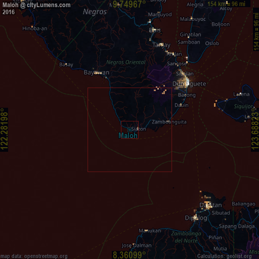
99.63%Clear (daylight) street map image can be seen on geolist.org.
Map coordinates:
9° 44' 58.8" North, 122° 16' 55.1" East
9° 3' 21.6" North, 122° 59' 6.4" East
8° 21' 39.6" North, 123° 41' 17.6" East
Some cities around Maloh sort by population:
• Santa Catalina
33.6 km =20.9 mi,  336°
336°
• Manalongon
21.3 km =13.2 mi,  329°
329°
• Bonawon
11.3 km =7 mi,  320°
320°
• Siaton
5.4 km =3.4 mi,  79°
79°
• Mayabon
21.2 km =13.2 mi, 77°
• Zamboanguita
24.1 km =15 mi, 77°
• Maninihon
38.5 km =23.9 mi, 335°
• Nagbalaye
24.6 km =15.3 mi, 330°
1702544 (p: 5,105)
Sources (retrieved 2019-11-25):
» Earth at Night: Flat Maps 2012, 2016