Bonawon night lights from space
Night Light of Bonawon (Central Visayas) from space (Philippines) Src. Average luminocity for 10x10km area is 0% and for 50x50km: 0.2155%.
Analysis of Bonawon night lights 2016
Square area 10x10 km:
 0%
0%90-99
0%80-89
0%70-79
0%60-69
0%50-59
0%40-49
0%30-39
0%20-29
0%10-19
0%0-9
100%Square area 50x50 km:
0%90-99
0%80-89
0.07%70-79
0.02%60-69
0.08%50-59
0.03%40-49
0.05%30-39
0.03%20-29
0.02%10-19
0%0-9
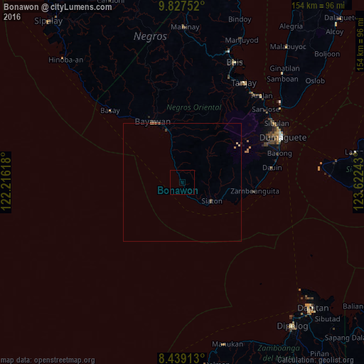
99.69%Clear (daylight) street map image can be seen on geolist.org.
Map coordinates:
9° 49' 39.1" North, 122° 12' 58.2" East
9° 8' 2.4" North, 122° 55' 9.5" East
8° 26' 20.9" North, 123° 37' 20.7" East
Some cities around Bonawon sort by population:
• Bayawan
28.6 km =17.8 mi,  333°
333°
• Santa Catalina
23 km =14.3 mi,  344°
344°
• Manalongon
10.3 km =6.4 mi, 339°
• Siaton
14.7 km =9.1 mi,  121°
121°
• Mayabon
28.3 km =17.6 mi,  98°
98°
• Maninihon
27.7 km =17.2 mi, 341°
• Nagbalaye
13.7 km =8.5 mi, 339°
• Maloh
11.3 km =7 mi,  140°
140°
1724177 (p: 9,189)
Sources (retrieved 2019-11-25):
» Earth at Night: Flat Maps 2012, 2016